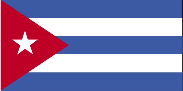
Teaching about Cuba is incredibly rewarding because it shows K-12 students how the Caribbean's largest island has shaped and been shaped by its geography, history, and global politics.
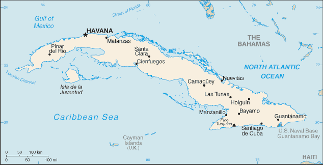
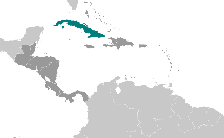
Cuba sits in the Caribbean Sea, just south of Florida and east of Mexico's Yucatán Peninsula. It is a long, narrow island with mountains in the southeast, fertile plains in the center, and coral reefs and beaches along the coast. The climate is tropical, with a rainy season and a hurricane season from June to November.
Studying Cuba builds key geographic skills. Students can explore how the island's location near the United States and the Gulf of Mexico made it important for trade, shipping, and military strategy. They can also learn how sugarcane, tobacco, and coffee shaped its economy, and how tourism and remittances are important today. Cuba's reefs and forests support wildlife like flamingos and manatees.
The country's cultural geography blends Taíno, African, Spanish, and Caribbean influences, seen in its music, dance, and food. For young learners, Cuba is memorable because of its classic cars, salsa music, and colorful cities like Havana. Studying it builds map skills, cultural awareness, and understanding of how geography shapes a nation's identity and challenges in the Caribbean.
|