Teaching about Dominica is incredibly rewarding because it shows K-12 students how a rugged volcanic island can build a unique identity around its natural environment.
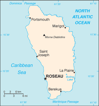
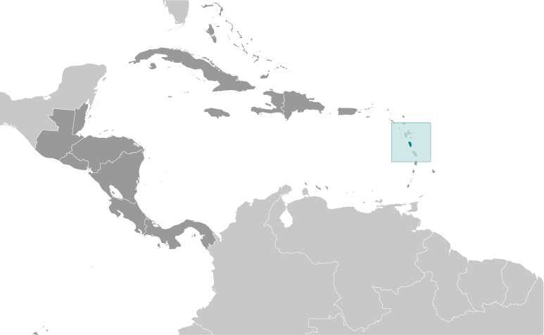
Dominica sits in the eastern Caribbean, part of the Lesser Antilles chain, between Guadeloupe and Martinique. It is one of the most mountainous islands in the Caribbean, with peaks like Morne Diablotins rising over 4,700 feet. The island has dense rainforests, hundreds of rivers, waterfalls, and the Boiling Lake, a flooded volcanic crater. The climate is tropical, with warm temperatures year-round and a hurricane season from June to November.
Studying Dominica builds key geographic skills. Students can explore how volcanic activity shaped the island and how its rainforests and rivers support rich biodiversity. They can also learn how the island's location in the eastern Caribbean influenced trade, culture, and language. Farming of bananas and citrus was once central to the economy, while tourism, especially eco-tourism, is growing. Dominica is home to the Kalinago people, the last remaining Indigenous Caribbean population in the region.
The island's cultural geography blends African, Kalinago, French, and British influences, seen in its Creole language, music, and festivals like Carnival. For young learners, Dominica is memorable because of its rainforests, rivers, and eco-tourism. Studying it builds map skills, cultural awareness, and understanding of how geography shapes island life and identity in the Caribbean.
|