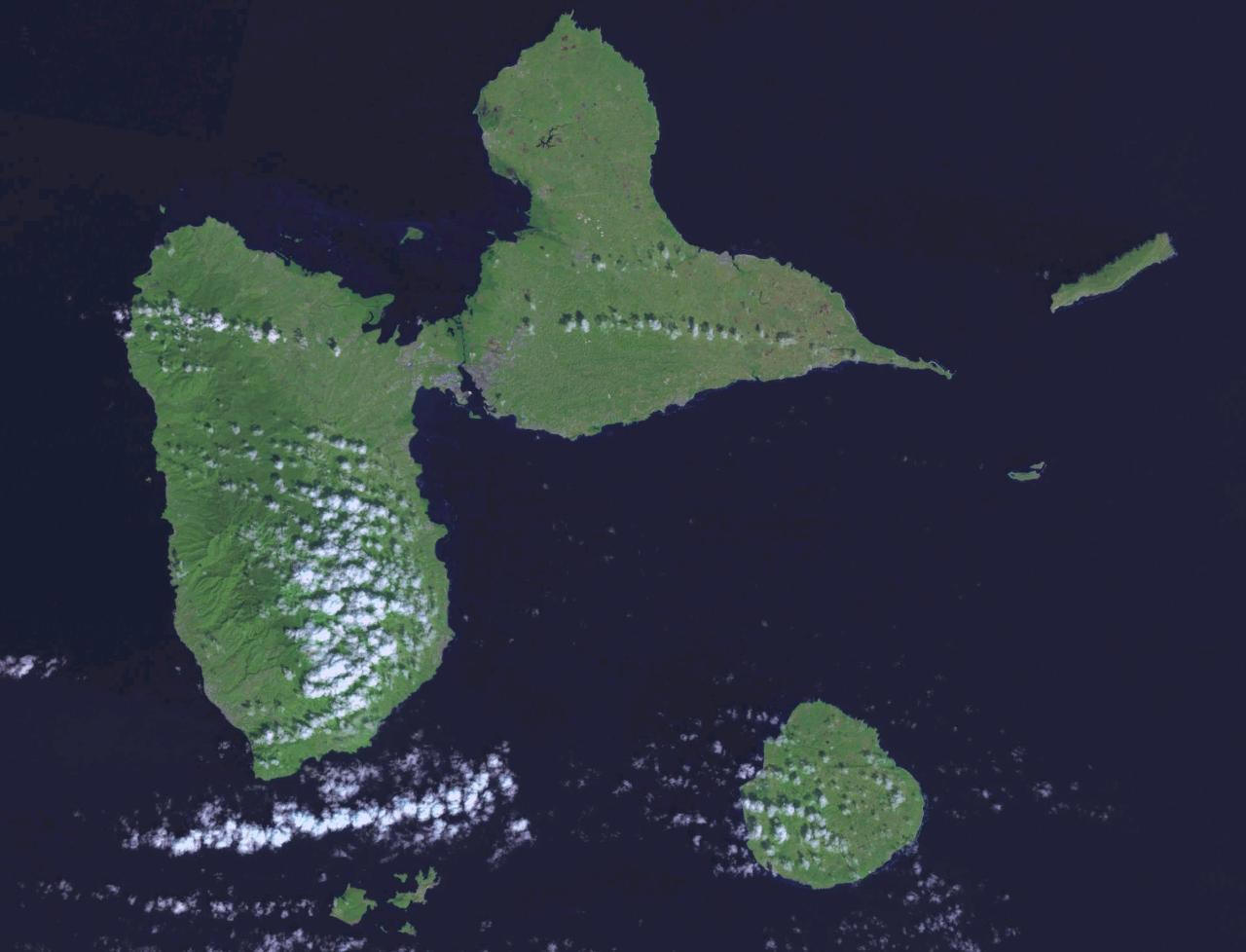
Teaching about Guadeloupe is vastly rewarding because it shows K-12 students how a butterfly-shaped Caribbean archipelago can be both French and Caribbean at the same time.
Guadeloupe is a French overseas department in the Lesser Antilles, located between Montserrat and Dominica. It is made up of two main islands: Basse-Terre in the west, which is volcanic and mountainous with a rainforest and an active volcano called La Soufrière, and Grande-Terre in the east, which is flatter and made of limestone with beaches and sugarcane fields. The climate is tropical, with warm temperatures year-round and a hurricane season from June to November.
Studying Guadeloupe builds key geographic skills. Students can explore how volcanic and limestone islands form differently and how the island's shape affects settlement and farming. They can also learn how the island's location in the eastern Caribbean influenced trade, culture, and language. As part of France, Guadeloupe uses the euro and is part of the European Union, making it a striking example of how geography and politics connect distant places. Tourism, farming of bananas and sugarcane, and rum production drive the economy.
The island's cultural geography blends African, French, and Caribbean influences, seen in its Creole language, zouk music, and Creole cuisine. For young learners, Guadeloupe is memorable because of La Soufrière, its beaches, and French-Caribbean culture. Studying it builds map skills, cultural awareness, and understanding of how geography shapes island life and identity in the Caribbean.
|