Teaching about Haiti is vastly enriching because it shows K-12 students how a West Indian nation's mountains, coastline, and history shape its culture and its challenges.
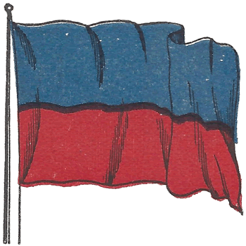 Haiti sits on the western third of the island of Hispaniola, sharing it with the Dominican Republic. It is bordered by the Atlantic Ocean to the north and the Caribbean Sea to the south. The country is mountainous, with the Massif de la Hotte and Chaîne des Matheux ranges, plus fertile valleys and coastal plains. The climate is tropical, with a rainy season and a hurricane season from June to November.
Studying Haiti builds key geographic skills. Students can explore how mountains and deforestation affect soil, farming, and flooding. They can also learn how Haiti's location near major shipping routes shaped its history as a French colony and its role in the transatlantic slave trade. In 1804, Haiti became the first Black republic after a successful slave revolution, a major event in world history. Today, farming, remittances, and light manufacturing support the economy, while earthquakes and hurricanes show how geography links to natural hazards.
Haiti's cultural geography is rich, blending African, French, and Taíno influences seen in Creole language, Vodou traditions, and vibrant art and music. For young learners, Haiti is memorable because of its history, mountains, and resilient people. Studying it builds map skills, cultural awareness, and understanding of how geography shapes a nation's identity and struggles.
|



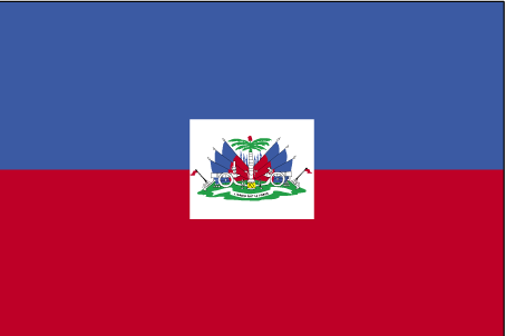
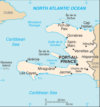
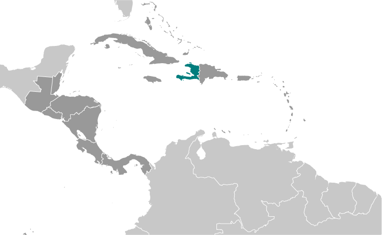
 Haiti sits on the western third of the island of Hispaniola, sharing it with the Dominican Republic. It is bordered by the Atlantic Ocean to the north and the Caribbean Sea to the south. The country is mountainous, with the Massif de la Hotte and Chaîne des Matheux ranges, plus fertile valleys and coastal plains. The climate is tropical, with a rainy season and a hurricane season from June to November.