Teaching about Jamaica is highly enriching because it shows K-12 students how an island's mountains, coastlines, and culture shape a nation with global influence.
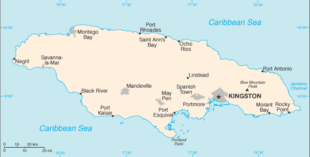
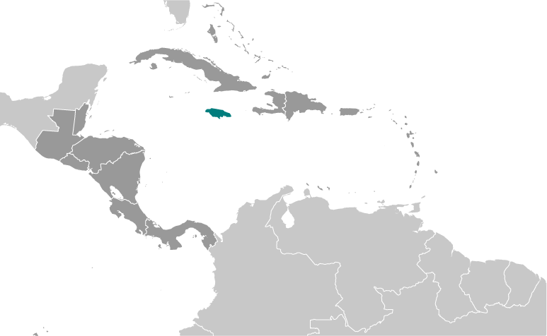
Jamaica sits in the Caribbean Sea, south of Cuba and west of Haiti. It is the third-largest island in the Caribbean. The island is mountainous, with the Blue Mountains rising over 7,000 feet, and coastal plains along the north and south shores. Rivers like the Black River flow through the island, and coral reefs ring the coast. The climate is tropical, with warm temperatures year-round and a hurricane season from June to November.
Studying Jamaica builds key geographic skills. Students can explore how mountains and rainfall create different farming zones for coffee, bananas, and sugarcane. They can also learn how the island's location near major shipping routes shaped its history, including the transatlantic slave trade and later independence in 1962. Tourism, mining of bauxite, and agriculture drive the economy. Hurricanes show how geography links to natural hazards.
Jamaica's cultural geography is incredibly rich, blending African, British, and Caribbean influences. This mix created reggae music, Rastafari culture, and foods like jerk chicken and ackee. For young learners, Jamaica is memorable because of its music, beaches, and athletes like Usain Bolt. Studying it builds map skills, cultural awareness, and understanding of how geography shapes identity and global influence.
|