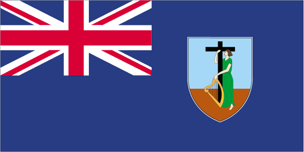
Teaching about Montserrat is highly enriching because it shows K-12 students how a volcanic island can be dramatically reshaped by natural forces and how people adapt to disaster.
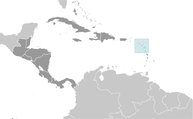
Montserrat is a British Overseas Territory in the eastern Caribbean, part of the Leeward Islands chain. It sits about 25 miles southwest of Antigua. The island is mountainous and volcanic, with the Soufrière Hills volcano dominating the south. The climate is tropical, with warm temperatures year-round and a hurricane season from June to November.
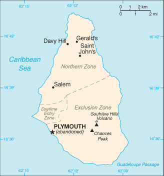
Studying Montserrat builds key geographic skills. Students can explore how volcanic activity shaped the island and how the eruption that began in 1995 buried the capital, Plymouth, in ash and forced two-thirds of the population to leave.
They can also learn how the northern part of the island remains safe and inhabited, while the south is an exclusion zone. This makes Montserrat a powerful case study in how geography connects to natural hazards, migration, and recovery. Tourism, farming, and offshore finance now support the remaining population.
The island's cultural geography blends African, Irish, and British influences, seen in its language, music, and St. Patrick's Day celebrations. For young learners, Montserrat is memorable because of its volcano, abandoned capital, and resilient people. Studying it builds map skills, cultural awareness, and understanding of how geography shapes island life and identity in the Caribbean.
|