Teaching about Navassa is greatly beneficial because it shows K-12 students how a tiny, uninhabited Caribbean island can raise big questions about geography, history, and environmental protection.
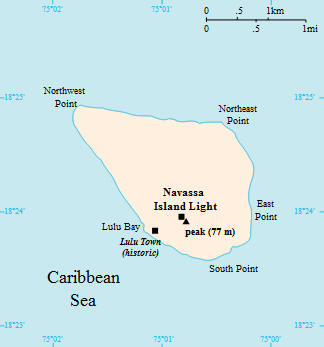
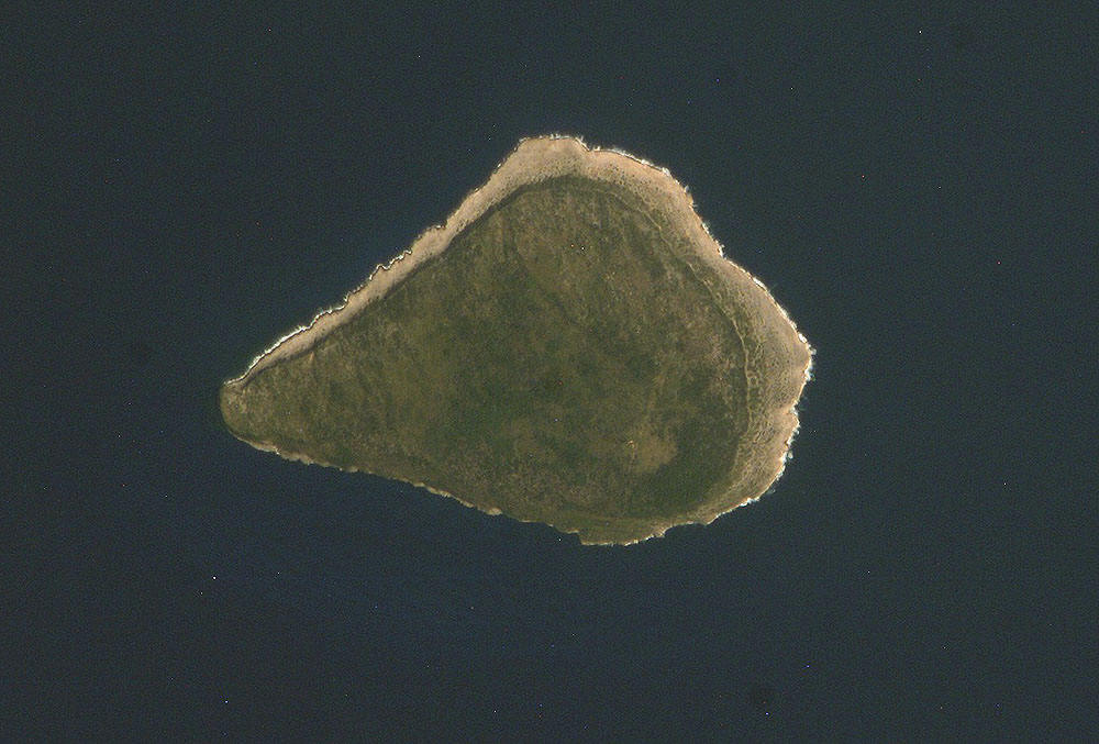
Navassa is a small island in the Caribbean Sea, located between Haiti and Jamaica, about 35 miles west of Haiti's coast. It is a U.S. territory administered by the U.S. Fish and Wildlife Service. The island is flat and rocky, made of coral limestone, with steep cliffs rising from the sea. The climate is hot and dry, with little fresh water. Navassa has no permanent population, only visiting scientists and researchers.
Studying Navassa builds key geographic skills. Students can explore how coral limestone formed the island and how its isolation supports unique wildlife, including seabirds and rare plants. They can also learn how Navassa's location near Haiti and Jamaica shapes its history and political status. In the 1800s, guano mining brought workers to the island, but today it is a protected national wildlife refuge. Haiti has claimed Navassa since the 1800s, making it a case study in territorial disputes.
The island's cultural geography is minimal because no one lives there, but its history connects to Guano Act mining, labor, and conservation. For young learners, Navassa is memorable because of its cliffs, seabirds, and remote setting. Studying it builds map skills, environmental awareness, and understanding of how geography shapes territorial claims and conservation in the Caribbean.
|