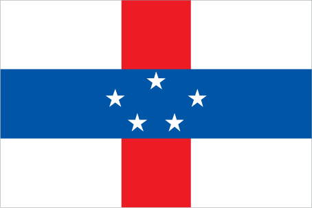
Teaching about the Netherlands Antilles is greatly beneficial because it shows K-12 students how a group of Caribbean islands once formed a single political unit tied to the Netherlands.
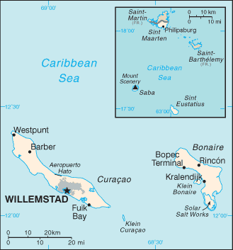
The Netherlands Antilles existed from 1954 to 2010 as a constituent country of the Kingdom of the Netherlands. It included islands in two groups: the Leeward Islands in the south—Curaçao, Bonaire, and Aruba—and the Windward Islands in the northeast—Sint Maarten, Saba, and Sint Eustatius. The islands were volcanic and coral in origin, with dry climates, beaches, and reefs. In 1986, Aruba separated, and in 2010, the federation dissolved into separate entities.
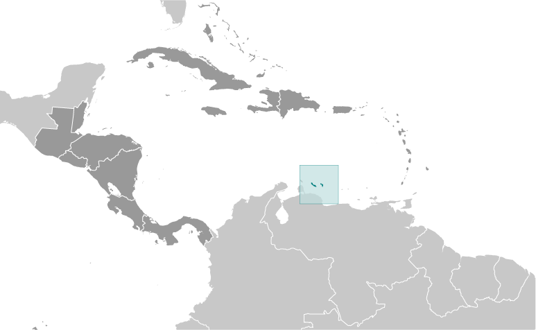
Studying the Netherlands Antilles builds key geographic skills. Students can explore how islands scattered across the Caribbean could be governed together despite distance and different landscapes. They can also learn how the islands' location near Venezuela shaped their trade, oil refining, and tourism. Curaçao became a major oil refining center, while Bonaire became known for diving and salt production. The dissolution shows how geography and politics can pull regions apart.
The islands' cultural geography blends African, Dutch, Spanish, and Caribbean influences, seen in Papiamento, music, and festivals. For young learners, the Netherlands Antilles is memorable because of its island diversity and unusual history. Studying it builds map skills, cultural awareness, and understanding of how geography shapes political unions and identities in the Caribbean.
|