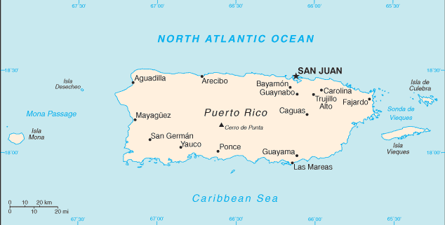
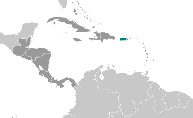
Teaching about Puerto Rico is greatly beneficial because it shows K-12 students how a Caribbean island can blend tropical geography with a unique political relationship to the United States.
 Puerto Rico sits in the northeastern Caribbean Sea, east of the Dominican Republic and west of the Virgin Islands. It is a mountainous island with a central cordillera, coastal plains, and rainforests like El Yunque, the only tropical rainforest in the U.S. forest system. The climate is tropical, with warm weather year-round and a hurricane season from June to November.
Studying Puerto Rico builds key geographic skills. Students can explore how mountains, coasts, and rivers shape where people live and farm. They can also learn how the island's location made it important for trade and military defense, and how it became a U.S. territory in 1898. Manufacturing, tourism, and agriculture drive the economy. Hurricanes like Maria in 2017 show how geography links to natural hazards and recovery.
The island's cultural geography blends Taíno, African, Spanish, and American influences, seen in its language, music, and food. For young learners, Puerto Rico is memorable because of its beaches, rainforest, and colorful cities like San Juan. Studying it builds map skills, cultural awareness, and understanding of how geography shapes island life and identity in the Caribbean.
|