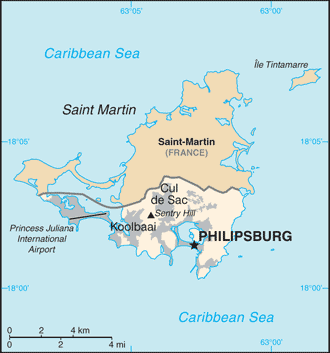
Teaching about Saint Martin and Sint Maarten is greatly beneficial because it shows K-12 students how one small island can be shared peacefully by two different countries.
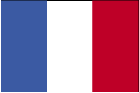
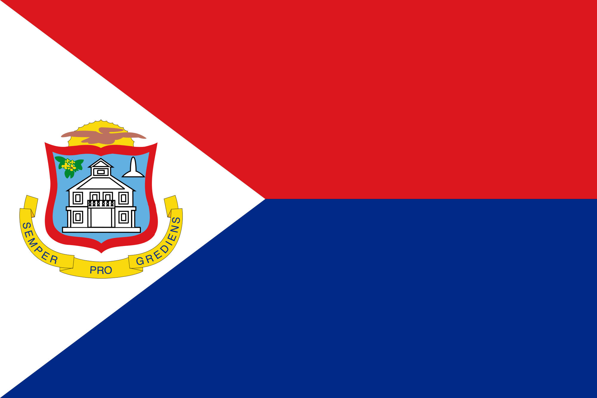
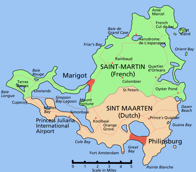
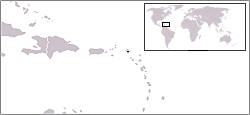
The island of Saint Martin sits in the northeastern Caribbean, part of the Leeward Islands. It is divided into two parts: Saint-Martin, a French overseas collectivity in the north, and Sint Maarten, a constituent country of the Kingdom of the Netherlands in the south. The island is about 34 square miles, making it one of the smallest inhabited islands split between two nations. The landscape includes hills, sandy beaches, salt ponds, and coral reefs. The climate is tropical, with warm weather year-round and a hurricane season from June to November.
Studying Saint Martin and Sint Maarten builds key geographic skills. Students can explore how the island's geography shaped its division and how the two sides developed different languages, currencies, and governments. They can also learn how tourism drives the economy on both sides, with cruise ships and airplanes bringing millions of visitors. The famous Maho Beach, where planes land right over the sand, shows how geography and tourism connect.
The island's cultural geography blends French, Dutch, African, and Caribbean influences, seen in its food, music, and festivals. For young learners, Saint Martin and Sint Maarten is memorable because of its split identity, beaches, and lively markets. Studying it builds map skills, cultural awareness, and understanding of how geography shapes borders and cooperation in the Caribbean.
|