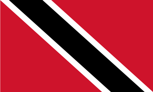
Teaching about Trinidad and Tobago is greatly beneficial because it shows K-12 students how two islands with different landscapes can form one nation with a rich, diverse culture.
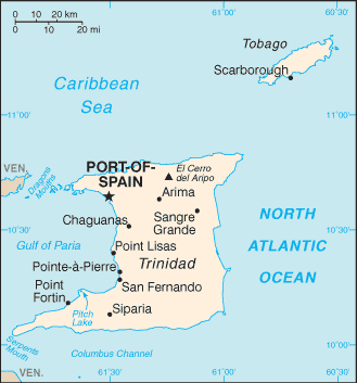
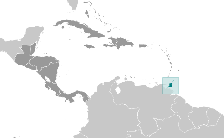
Trinidad and Tobago sits in the southern Caribbean, just off the coast of Venezuela. Trinidad is the larger island, with mountains, swamps, and even a pitch lake, while Tobago is smaller and more mountainous, known for its beaches and coral reefs. The climate is tropical, with warm temperatures year-round and a rainy season from June to December.
Studying Trinidad and Tobago builds key geographic skills. Students can explore how Trinidad's Pitch Lake, the world's largest natural asphalt deposit, connects geology to industry. They can also learn how the islands' location near South America shaped their trade, culture, and languages. Oil and natural gas drive Trinidad's economy, while Tobago depends more on tourism. The country's biodiversity includes scarlet ibis and leatherback turtles.
The country's cultural geography is incredibly rich, blending African, Indian, Chinese, European, and Indigenous influences. This mix created calypso, soca, steelpan, and limbo, plus foods like doubles and roti. For young learners, Trinidad and Tobago is memorable because of Carnival, steel drums, and its diverse people. Studying it builds map skills, cultural awareness, and understanding of how geography shapes identity in the Caribbean.
|