


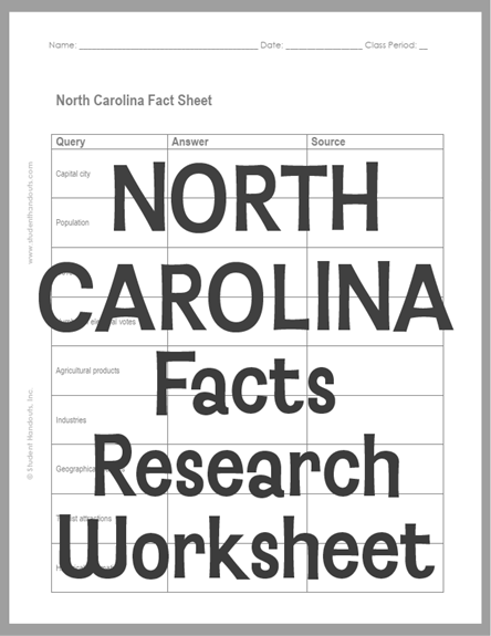
| North Carolina Facts Research Worksheet |
|---|
| www.studenthandouts.com ↣ Geography ↣ Northern America ↣ U.S.A. ↣ Southern U.S. ↣ North Carolina Geography |
 |
    |
|
This is designed for students in grades five and up who are starting to wrap their heads around the importance of getting their information from sources they can cite.
Pupils research the state and cite their sources. The citation format required is left to the teacher's discretion. Click here to print. Students' answers will vary. North Carolina's geography is divided into three main regions: the Mountains, the Piedmont, and the Coastal Plain. The western mountains are part of the Appalachian range. The middle Piedmont is hilly, and the eastern Coastal Plain is flat and sandy, stretching to the Atlantic Ocean. The Outer Banks are thin barrier islands along the coast that storms constantly reshape. The state's economy has changed over time. Agriculture is still the number one industry, generating over $117 billion each year and employing one in five workers. North Carolina leads the country in sweetpotatoes and tobacco and ranks high in poultry, hogs, and Christmas trees. In recent decades, research and technology have grown important, especially around the Research Triangle Park, home to many biotech and information technology companies. Historically, North Carolina was one of the original thirteen colonies. English settlers arrived in the late 1500s, including the famous "Lost Colony" on Roanoke Island. The state joined the Union in 1789 as the twelfth state. The long-leaf pine forests of the Coastal Plain produced tar, rosin, and turpentine, which gave North Carolina its nickname, the "Tar Heel State." |
| www.studenthandouts.com ↣ Geography ↣ Northern America ↣ U.S.A. ↣ Southern U.S. ↣ North Carolina Geography |





