


| Virginia Facts Research Worksheet |
|---|
| www.studenthandouts.com ↣ Geography ↣ North America ↣ U.S.A. ↣ U.S. South ↣ Virginia Geography Education |
 |
    |
|
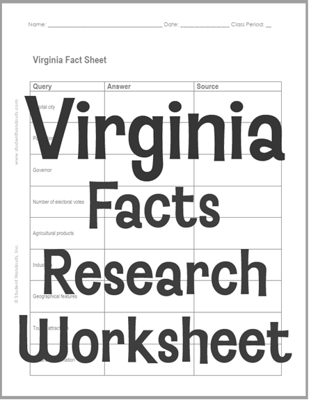
Click here to print. Students' answers will vary.
This worksheet is designed for pupils in grades five and up. They are tasked with researching the states and citing their sources. Virginia's land is shaped by five main regions, from the flat Coastal Plain in the east to the rugged Appalachian Plateau in the southwest. The Coastal Plain, also called Tidewater, is low and flat, with the Chesapeake Bay and four big rivers cutting through it. Moving west, the Piedmont is a rolling hill country that makes up the state's largest region. The Blue Ridge Mountains rise next, home to Mount Rogers, Virginia's highest peak at 5,729 feet. Beyond that lie the Valley and Ridge region with its long parallel ridges and lush valleys, and finally the Appalachian Plateau in the far southwest. Virginia's economy today is led by agriculture, the state's largest private industry, with broiler chickens, cattle, milk, corn, and soybeans as top products. The state is also a national leader in tobacco, apples, peanuts, and seafood. Manufacturing and service jobs are important too, especially computer and data processing work in the north. Historically, Virginia is called the "Mother of Presidents" because eight U.S. presidents were born there, including George Washington and Thomas Jefferson. Jamestown, founded in 1607, was the first permanent English settlement in America. Virginia became the 10th state in 1788. It left the Union in 1861 during the Civil War and rejoined in 1870. |
| www.studenthandouts.com ↣ Geography ↣ North America ↣ U.S.A. ↣ U.S. South ↣ Virginia Geography Education |





