


 |
| Ancient Near East Maps and Pictures |
|---|
| www.studenthandouts.com ↣ World History ↣ Ancient Near East Educational Materials ↣ Ancient Near East Maps & Pictures |
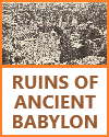 | 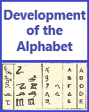 | 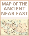 | 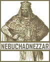 | 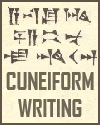 | ||||||
| Ruins of Ancient Babylon | History of the Alphabet | Ancient Near East Map | Nebuchadnezzar of Babylonia | Cuneiform Writing |
 | 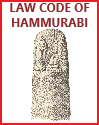 | 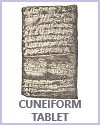 |  |  | ||||||
| Ancient Israelites Maps and Pictures | Code of Hammurabi | Cuneiform Tablet | Cyrus the Great of Persia | Babylonian Votive Statue |
 |  |  |  | 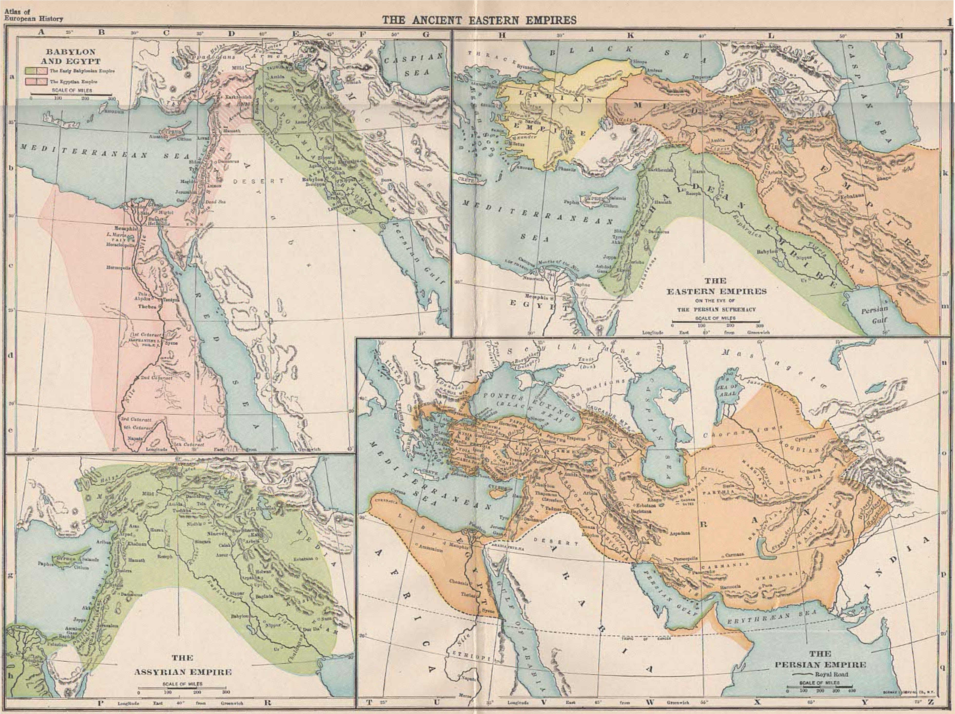 | ||||||
| Persian Relief: Bringing Tribute to the King | Ancient Persian Relief Figures at Apadana Palace at Persepolis | Assyrian War Chariots | Ancient Babylonian God Marduk | Map of Ancient Eastern Empires |
 | ||||||||||
| Family Tree Chart of Abraham Through the Twelve Tribes of Israel |
Our visual images, including maps and pictures, can be incredibly powerful tools for helping your students learn about the ancient Near East.
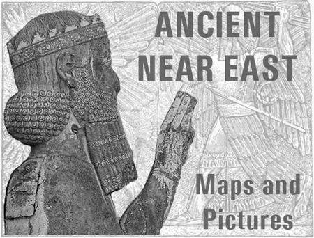 Geographical Understanding - Maps: Maps of the ancient Near East provide students with a clear visual representation of the region's geography, including the locations of ancient civilizations, rivers, mountains, and deserts. Students can better comprehend the spatial context of historical events and the interactions between different civilizations.
Cultural and Architectural Insights - Pictures and Artifacts: Visual images of archaeological sites, artifacts, and ancient structures offer glimpses into the architecture, art, and material culture of ancient Near Eastern civilizations. Students can explore the unique styles, designs, and symbols used by these civilizations. Historical Context - Timeline Illustrations: Visual timelines with images can help students understand the chronology of major events in the ancient Near East. They can see how different civilizations and empires rose and fell over time. Comparative Analysis - Comparison Charts: Visual charts and diagrams can facilitate comparisons between different ancient Near Eastern civilizations, highlighting their similarities and differences in areas such as government, religion, and social structure. Religious and Mythological Understanding - Depictions of Deities: Visual representations of gods, goddesses, and mythological scenes from ancient Near Eastern cultures help students grasp the religious beliefs and practices of these societies. They can identify key deities and their attributes. Trade Routes and Networks - Trade Maps: Maps depicting trade routes and networks in the ancient Near East help students understand the economic interconnections between civilizations. They can explore how goods, ideas, and technologies were exchanged. Historical Figures and Leaders - Portraits and Statues: Images of historical figures and leaders from the ancient Near East provide students with visual references for key personalities in history. They can connect faces to names and understand their roles in shaping events. Cultural Artifacts and Art - Artistic Styles: Visual images of pottery, sculptures, and artworks showcase the artistic styles and motifs of different ancient Near Eastern cultures. Students can analyze the symbolism and cultural significance of these artifacts. Primary Source Analysis - Cuneiform Tablets and Inscriptions: Visual images of cuneiform tablets and inscriptions provide opportunities for students to engage with primary sources, decipher ancient scripts, and gain insights into historical documents. Contextualizing Historical Narratives - Visual Storytelling: Pictures and illustrations can be used to create visual narratives that complement historical accounts, making the past more accessible and engaging. Critical Thinking - Analysis and Interpretation: Visual images prompt critical thinking as students analyze and interpret the meaning, context, and implications of the visuals. They can draw conclusions and develop historical hypotheses. Multimodal Learning - Varied Learning Styles: Visual images cater to different learning styles, benefiting visual learners who may better comprehend and retain information through images and maps. By incorporating our free maps, pictures, and other visual aids into the curriculum, educators can enhance their students' understanding of the ancient Near East, making history more tangible and engaging while fostering critical thinking and historical empathy. |
| www.studenthandouts.com ↣ World History ↣ Ancient Near East Educational Materials ↣ Ancient Near East Maps & Pictures |





