


| Imperialism in the Middle East and Southwest Asia Printable PDF Outline |
|---|
| www.studenthandouts.com ↣ World History ↣ Imperialism ↣ Imperialism Outlines & PPTs |
 I. Geography
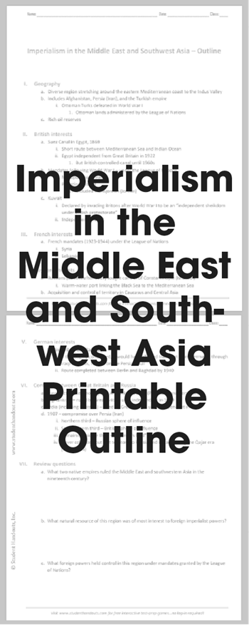
a. Diverse region stretching around the eastern Mediterranean coast to the Indus Valley b. Includes Afghanistan, Persia (Iran), and the Turkish empire i. Ottoman Turks defeated in World War I 1. Ottoman lands administered by the League of Nations c. Rich oil reserves II. British interests a. Suez Canal in Egypt, 1869 i. Short route between Mediterranean Sea and Indian Ocean ii. Egypt independent from Great Britain in 1922 1. But British controlled canal until 1960s b. Mandates following World War I—under the League of Nations i. Mesopotamia—Iraq ii. Palestine—Israel 1. Included Transjordan (Jordan) c. Kuwait i. Declared by invading Britons after World War I to be an "independent sheikdom under British protectorate" ii. Independent in 1961 III. French interests a. French mandates (1923-1944) under the League of Nations i. Syria ii. Lebanon IV. Russian interests a. Russians (Soviets after 1917) sought control of Constantinople (Istanbul) i. Warm-water port linking the Black Sea to the Mediterranean Sea b. Acquisition and control of territory in Caucasus and Central Asia V. German interests a. Berlin-to-Baghdad Railroad i. If thoroughly completed, it would have allowed transport from Germany, through Iraqi oil fields, to port on the Persian Gulf ii. Route completed between Berlin and Baghdad by 1940 VI. Conflicts between Great Britain and Russia a. Russia attempted moving into Afghanistan, India (Pakistan), and Persia (Iran) b. Afghanistan—ruled by Great Britain until independent in 1919 c. India (including Pakistan)—ruled by Great Britain until independent in 1947 d. 1907—compromise over Persia (Iran) i. Northern third—Russian sphere of influence ii. Southeastern third—British sphere of influence iii. Remaining middle third—"no man's land" iv. Never colonized but lost territory to Russia and Britain during the Qajar era (1794-1925) VII. Review questions a. What two native empires ruled the Middle East and southwestern Asia in the nineteenth century? b. What natural resource of this region was of most interest to foreign imperialist powers? c. What foreign powers held control in this region under mandates granted by the League of Nations? Click here to print. For a PowerPoint version of this outline, click here. |
 |  |  |  |  PDF Printable") |  |
| Imperialism Books and Films | Imperialism Outlines and PowerPoints |
| Imperialism Maps and Pictures | Imperialism Study Games |
| Imperialism Miscellany | Imperialism Worksheets |
| www.studenthandouts.com ↣ World History ↣ Imperialism ↣ Imperialism Outlines & PPTs |


