Napoléonic Era Maps and Pictures | Student Handouts
 
History of the World: Free Worksheets, PowerPoints, Practice Tests, and More, for K-12 World History, European History, and Global Studies
Napoléonic Era Maps and Pictures
www.studenthandouts.com ↣ World History ↣ Napoleonic Era Teaching Materials ↣ Napoléonic Era Maps & Pictures
 
 
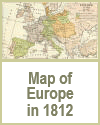
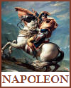
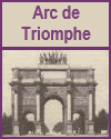
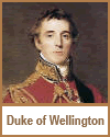
  Map of Europe in 1812.  Including the empire of the French, states dependent on Napoleon, and states allied with Napoleon.  Napoléon Bonaparte (1769-1821) Educational Resources  Triumphal Arch (Carrousel), Paris, France.  The Arc de Triomphe is the largest triumphal arch in the world.  Battle of Trafalgar, 1805  Duke of Wellington Educational Resources 
  Europe in 1812  Napoléon Bonaparte (1769-1821) Educational Resources  Arc de Triomphe  Battle of Trafalgar, 1805  Duke of Wellington Educational Resources 
 
 
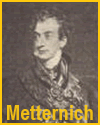
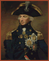
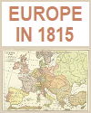
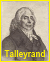
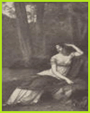
  Prince Klemens Wenzel von Metternich.  Horatio, Lord Nelson by Abbott  Map of Europe in 1815  Prime Minister Charles Maurice de Talleyrand of France.  Josephine de Beauharnais, wife of Napoleon. From a painting by Prudhon.  At the time of his marriage, Napoleon was about to start on his Italian campaign. Josephine was a general favorite, and her husband once acknowledged her helpful tact with the remark, "I win battles, but Josephine wins hearts." In later years, however, after he became emperor, he divorced Josephine and married an Austrian princess. 
  Metternich  Horatio Lord Nelson Portrait  Map of Europe in 1815  Talleyrand  Josephine de Beauharnais 
 
 
Student Handouts
 
 
Napoléonic Era Books and FilmsNapoléonic Era Outlines and PowerPoints
  
Napoléonic Era Maps and PicturesNapoléonic Era Educational Games
  
Napoléonic Era MiscellanyNapoléonic Era Worksheets
 
 
www.studenthandouts.com ↣ World History ↣ Napoleonic Era Teaching Materials ↣ Napoléonic Era Maps & Pictures
 
 
Free Printable Brain Teaser and Head Scratcher Worksheets for Kids and AdultsFree Printable Holiday Worksheets
 
 
100% Free Handwriting Practice Printables - Print and Cursive