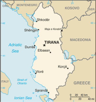
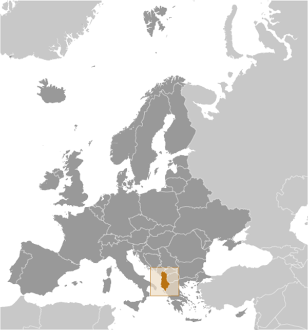
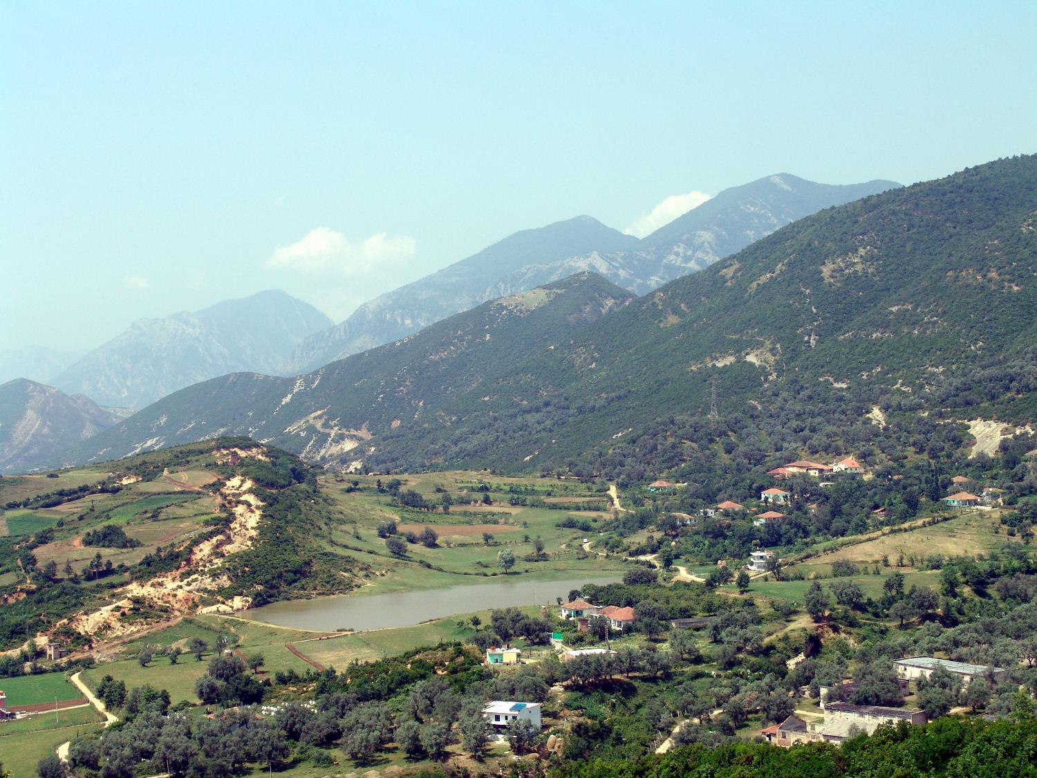
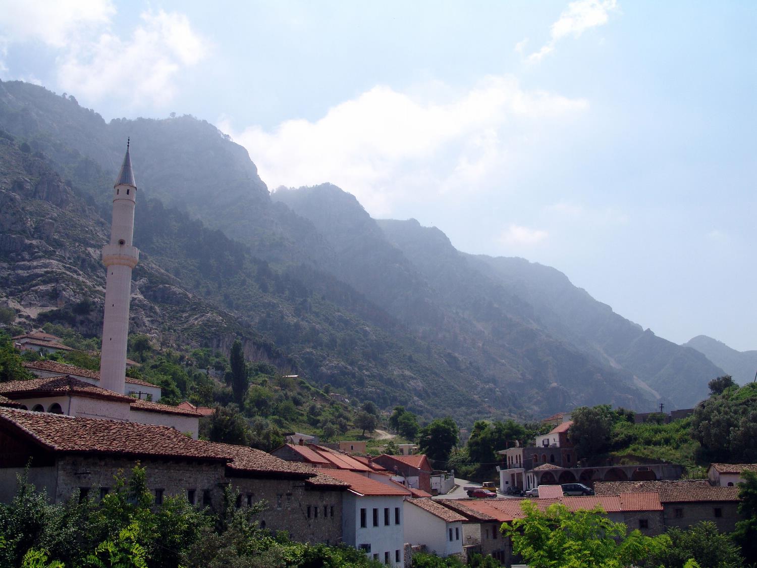
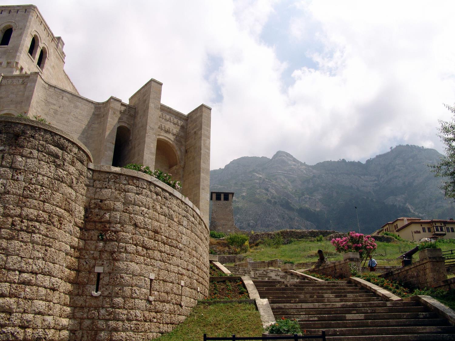
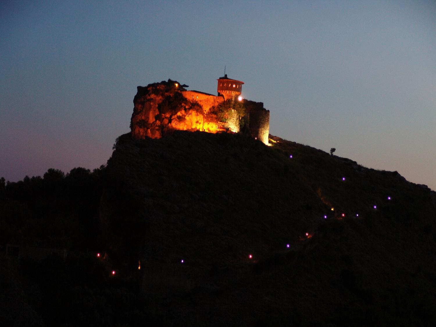
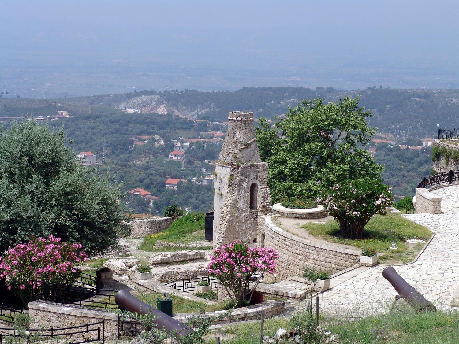
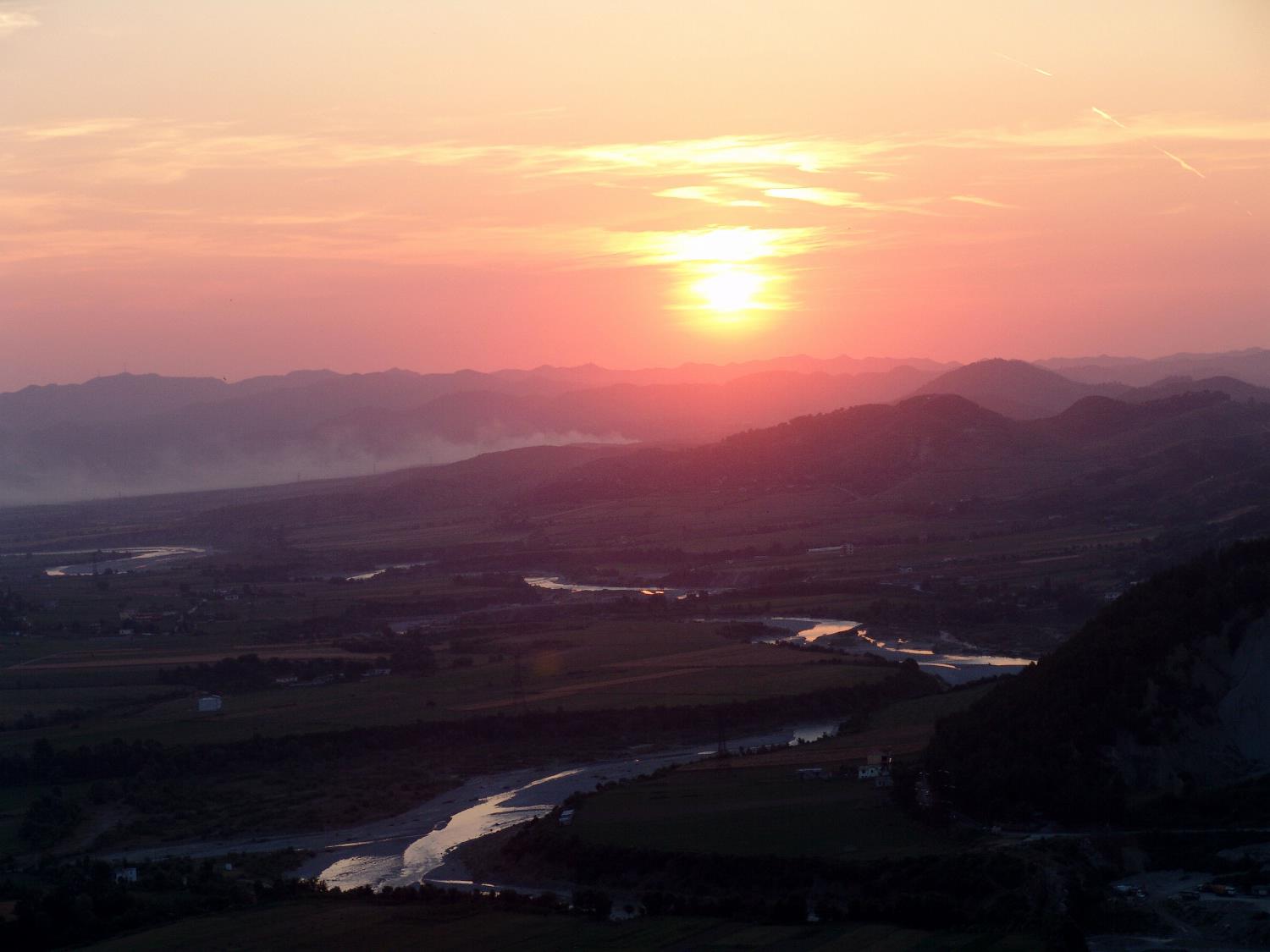
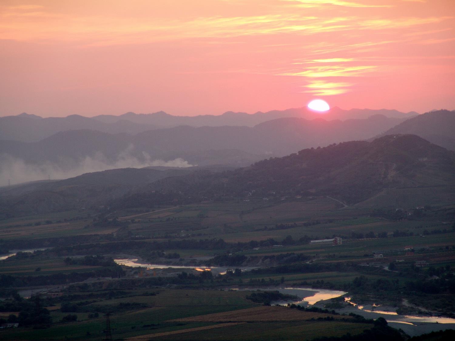
Teaching about Albania is highly beneficial because it shows K-12 students how a small Mediterranean country can be shaped by mountains, coastlines, and a complex history. Albania sits in southeastern Europe on the Balkan Peninsula, bordered by Montenegro, Kosovo, North Macedonia, and Greece, with coastlines on the Adriatic and Ionian Seas. Much of the country is mountainous, with the Albanian Alps in the north and the Pindus range in the south. These mountains have isolated communities for centuries, helping preserve distinct traditions and languages.
Studying Albania builds key geographic skills. Students can explore how mountains and valleys create different climates, from snowy peaks to warm coastal plains. They can also learn how rivers like the Drin support farming and hydropower, and how the country's location on the Adriatic made it a crossroads for Greek, Roman, and Ottoman empires. Albania's coastline, called the Albanian Riviera, is known for clear waters and growing tourism.
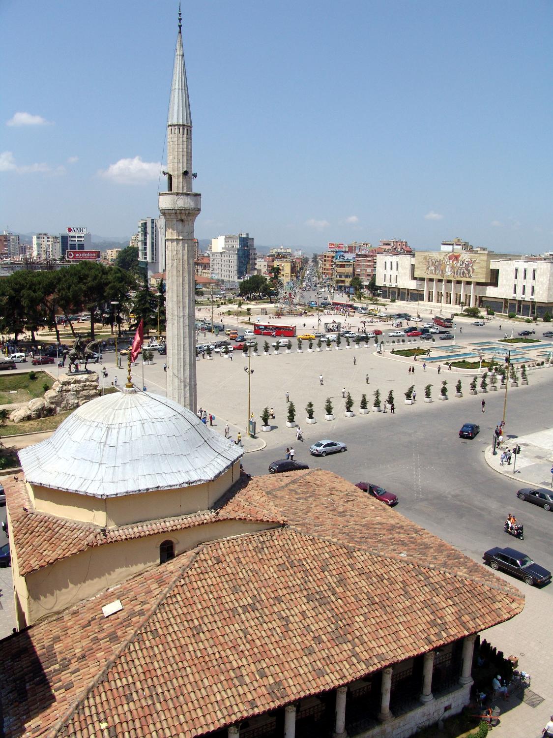
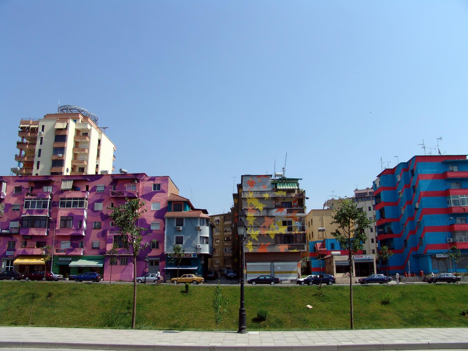
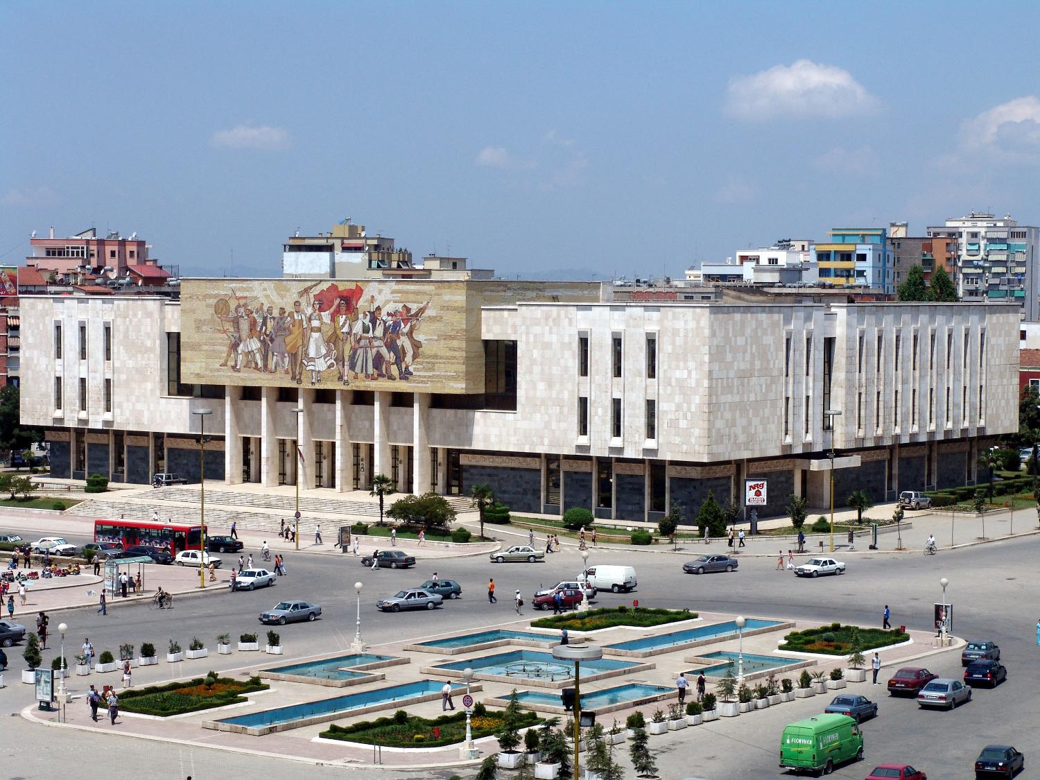
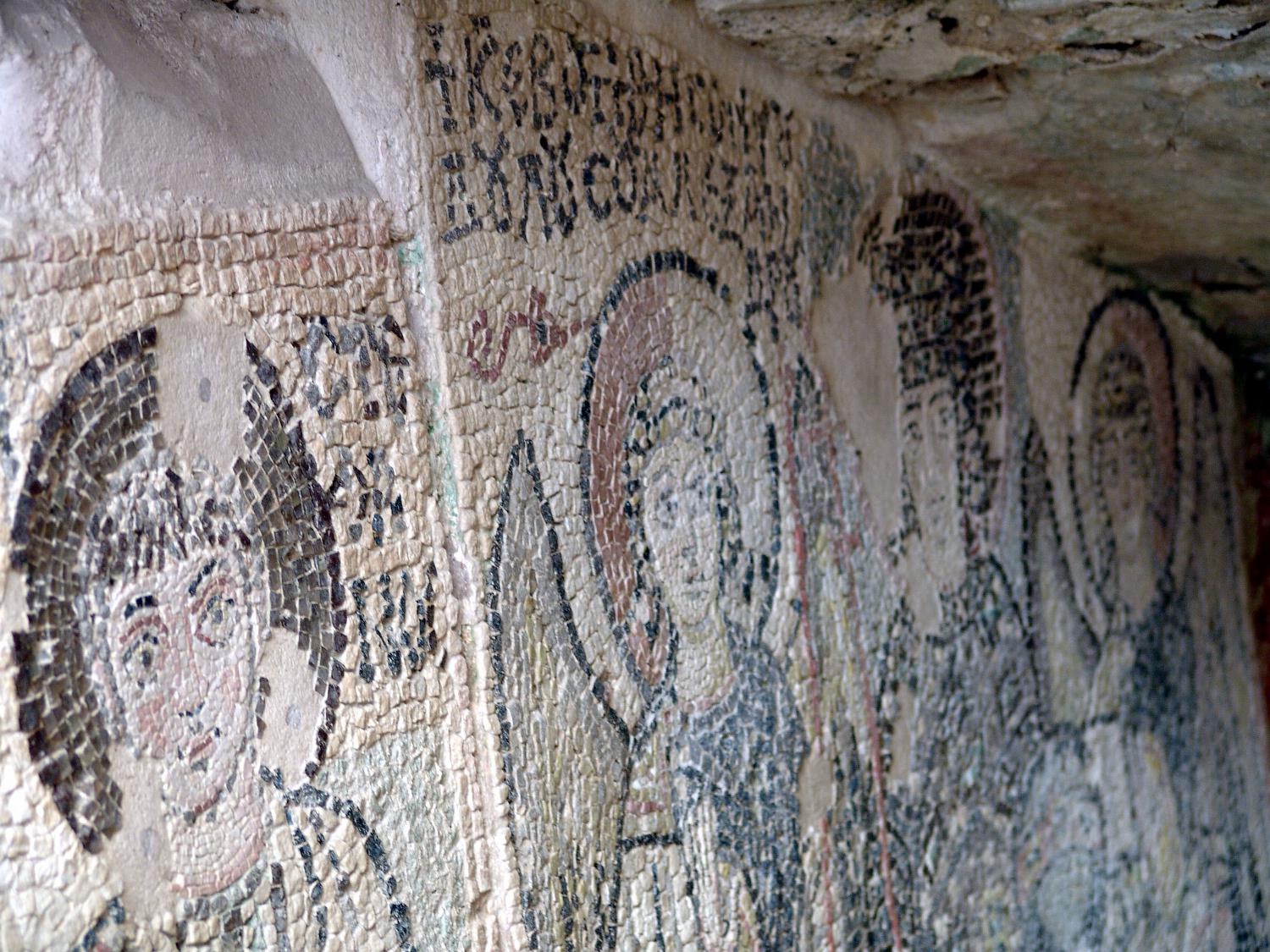
The country's cultural geography is rich, with its own language, folk music, and traditions like the iso-polyphony singing recognized by UNESCO. For young learners, Albania is memorable because of its mountains, castles, and the colorful capital, Tirana. Studying it builds map skills, cultural awareness, and understanding of how geography shapes a nation's economy and identity in the Balkans. It also helps students see how isolation and connection both shaped Albania's past and present.
|