Teaching about El Salvador is incredibly enriching because it shows K-12 students how the smallest country in Central America is shaped by volcanoes, earthquakes, and a dense population.
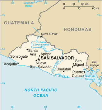
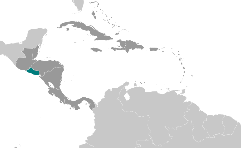
El Salvador sits on the Pacific coast of Central America, bordered by Guatemala to the northwest and Honduras to the north and east. It has no Caribbean coastline, only a Pacific shore. The country is known as the "Land of Volcanoes" because it has more than twenty volcanoes, including San Miguel and Santa Ana. Mountains and valleys cover the interior, and the Pacific coast has black-sand beaches and mangrove swamps. The climate is tropical, with a dry season and a rainy season.
Studying El Salvador builds key geographic skills. Students can explore how volcanic soil supports farming of coffee, sugar, and corn. They can also learn how the country's location on the Ring of Fire makes it prone to earthquakes and eruptions. El Salvador is the most densely populated country in Central America, so land use and urban growth are important topics. Remittances from Salvadorans living abroad play a big role in the economy.
The country's cultural geography blends Indigenous, Spanish, and African influences, seen in its language, music, and foods like pupusas. For young learners, El Salvador is memorable because of its volcanoes, pupusas, and surf beaches. Studying it builds map skills, cultural awareness, and understanding of how geography shapes identity and challenges in Central America. It also helps students see how small countries adapt to natural hazards and limited land.
|