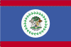
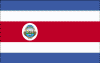
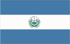
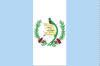
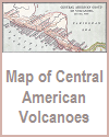
Teaching about Central America is incredibly enriching because it shows K-12 students how a narrow bridge of land between two continents and two oceans shapes climate, culture, and global connections. Central America includes seven countries: Belize, Clipperton Island, Guatemala, Honduras, El Salvador, Mexico (included here for cultural and historical reasons), Nicaragua, Costa Rica, and Panama. This region stretches from Mexico to Colombia and separates the Caribbean Sea from the Pacific Ocean. It sits on the Ring of Fire, so volcanoes and earthquakes are common. Mountains run down the center, with coastal plains on both sides, and rainforests cover much of the lowlands.
Studying Central America builds key geographic skills. Students can explore how the region's location makes it a land bridge for wildlife and people, and how its climate supports farming of coffee, bananas, and sugarcane. They can also learn how the Panama Canal connects oceans and how hurricanes and volcanic eruptions affect communities. The region's biodiversity is rich, with cloud forests, coral reefs, and species found nowhere else.
The cultural geography blends Indigenous, African, Spanish, and Caribbean influences, seen in its languages, music, and food. For young learners, Central America is memorable because of its volcanoes, rainforests, and Maya ruins. Studying it builds map skills, cultural awareness, and understanding of how geography shapes identity and global connections.
|