Teaching students about Guatemala's geography opens a door to a world rich in natural beauty, cultural diversity, and real-world connections. At a time when global awareness matters more than ever, Guatemala offers K-12 educators a perfect case study for bringing geography to life.
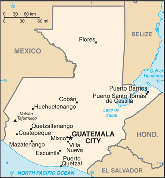
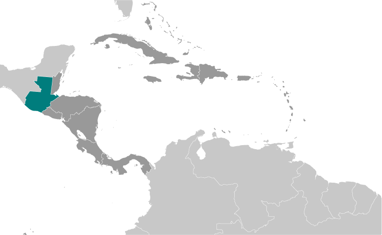
First, Guatemala's landscape is remarkably varied for such a small country. It has volcanic mountains, dense rainforests, fertile highlands, and both Pacific and Caribbean coastlines. Students can learn how physical features shape where people live, how they farm, and how they travel. The country's location in Central America also makes it a natural bridge between North and South America, which helps students understand migration, trade, and cultural exchange.
Second, Guatemala is home to over twenty Maya languages and a large Indigenous population. Teaching its geography naturally weaves in cultural lessons about ancient civilizations, modern traditions, and the importance of respecting diverse communities. Students see that a map is not just lines and colors—it represents real people with unique ways of life.
Third, Guatemala faces serious environmental challenges like deforestation, volcanic activity, and hurricanes. These issues let teachers connect geography to science, current events, and civic responsibility. Students can discuss how climate and location affect farming, water access, and safety.
Finally, learning about Guatemala helps students practice empathy and global thinking. Many K-12 classrooms include students with Guatemalan heritage, so this topic can be deeply personal and validating. For others, it builds curiosity about places beyond their own neighborhood.
In short, Guatemala's geography is a powerful teaching tool. It combines physical features, culture, environment, and human stories in one engaging package. When educators bring this beautiful country into their lessons, they give students more than facts—they give them a wider view of the world and a deeper understanding of our shared planet.
|