Teaching students about Honduras's geography gives K-12 educators a powerful way to connect maps, culture, and real-world issues. This beautiful Central American country offers lessons that stick with students long after the bell rings.
 Honduras has an incredibly diverse landscape. It features Caribbean coastlines, lush rainforests, towering mountains, and the famous Mesoamerican Barrier Reef. Students can explore how these features affect daily life—how fishing communities depend on the sea, how farmers grow coffee and bananas in the highlands, and how rivers shape transportation and trade.
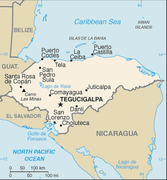
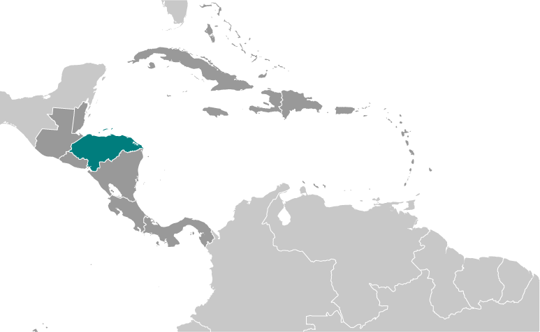
Location matters too. Honduras sits in the heart of Central America, bordered by Guatemala, El Salvador, and Nicaragua. This position makes it a crossroads for migration, trade, and cultural exchange. Teaching this helps students understand why people move and how countries depend on one another.
Honduras is also rich in cultural heritage. It was home to the ancient Maya civilization, and today it includes diverse Indigenous and mestizo communities. Geography lessons naturally open discussions about languages, traditions, and the importance of respecting different ways of life. Students learn that places are more than dots on a map—they are home to real people with real stories.
Environmental challenges add another layer. Honduras faces deforestation, hurricanes, and climate-related risks. These topics let teachers connect geography to science, economics, and civic responsibility. Students can debate solutions and see how geography affects safety, jobs, and food supply.
Finally, many K-12 classrooms include students with Honduran roots. Learning about this country can feel personal and validating. For others, it builds curiosity and empathy about places beyond their own community.
In short, Honduras is a fantastic teaching tool. Its mountains, reefs, cities, and cultures bring geography to life. When educators include Honduras in their lessons, they help students become more informed, caring, and globally aware citizens.
|