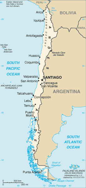
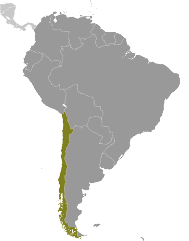
 Learning about Chile's geography is valuable because it demonstrates, in striking fashion, how physical environment shapes national life. Chile stretches over 2,600 miles along South America's western edge but averages only about 110 miles in width, making it one of the longest, narrowest countries on Earth. This unusual shape produces remarkable contrasts: the arid Atacama Desert in the north, among the driest places on the planet; the fertile Central Valley, where most Chileans live and where grapes and fruit are grown for export; and the cold, fragmented south of Patagonia and Tierra del Fuego. The Andes rise along the entire eastern border, while the Pacific Ocean defines the west.
These features make Chile an excellent case study for geographic concepts. Your K-12 students can examine how latitude and elevation create desert, Mediterranean, and alpine climates within one nation, how the Humboldt Current influences coastal weather and fishing, and how isolation affects settlement. Chile also offers lessons in resource geography, from copper mining to salmon farming and lithium extraction.
Chile's remote territory of Easter Island and its claim to part of Antarctica broaden your students' sense of the globe. For your young learners, superlatives––longest, narrowest, driest––make lessons memorable. Studying Chile builds map skills, environmental awareness, and appreciation for how geography shapes economy and culture.
|