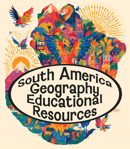
 Learning about South America's geography is important because it helps your K-12 students understand a continent of extraordinary contrasts and global significance. South America spans twelve countries and several territories, stretching from tropical rainforests near the equator to sub-Antarctic landscapes in Tierra del Fuego. It contains the Amazon rainforest, the world’'s largest river basin and most biodiverse region; the Andes, the longest mountain range on Earth; the Atacama Desert, among the driest places; and the Pampas, Pantanal, and Patagonia.
Studying the continent builds essential geographic skills. Students can trace how latitude, elevation, and ocean currents create varied climates, and how physical features influence where people live, farm, and trade. South America's economies—rooted in copper, lithium, coffee, soy, and oil—connect its landscapes to global markets and environmental debates like deforestation and climate change.
The region also offers rich cultural geography. Indigenous civilizations, European colonization, African heritage, and waves of immigration produced diverse languages, foods, and traditions, from Quechua and Guaraní to samba and tango. Understanding South America helps students see how history and environment shape identity.
For your young learners, the continent's superlatives—largest rainforest, longest mountain range, highest navigable lake—make lessons memorable. Studying South America builds map skills, cultural empathy, and global awareness, preparng students to engage thoughtfully with an interconnected world.
|