Teaching students about Alberta's geography gives K-12 educators a rich and exciting way to connect maps, science, and culture. This beautiful Canadian province offers lessons that are both memorable and meaningful.
Alberta is located in western Canada and is known for its stunning natural features. It has the majestic Rocky Mountains, rolling prairies, dense boreal forests, and vast badlands. Students can learn how these landscapes shape daily life—how people farm on the prairies, ski in the mountains, and work in the oil and gas industry. The province is also home to Banff and Jasper National Parks, which draw millions of visitors each year.
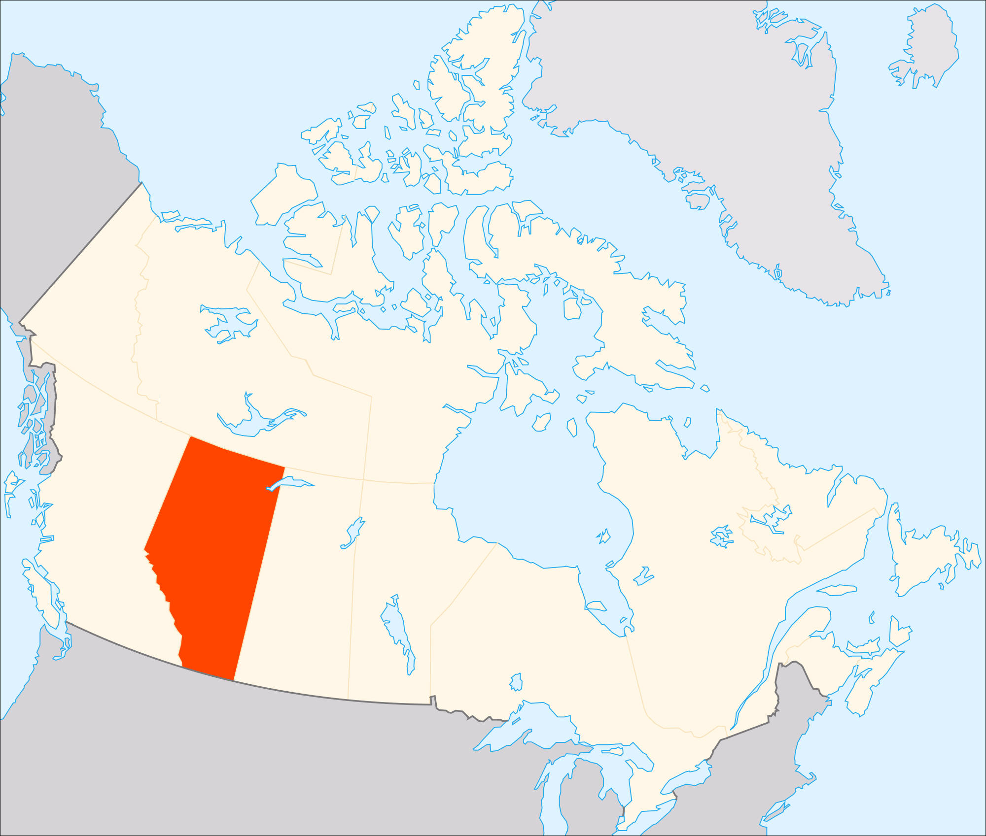
Location matters too. Alberta borders British Columbia, Saskatchewan, and the Northwest Territories. It also shares a border with the U.S. state of Montana. This position makes it important for trade and travel. Teaching this helps students understand how geography connects places and people.
Alberta is rich in natural resources. It has large oil sands, forests, and fertile farmland. These resources create jobs but also raise questions about environmental protection. Students can discuss how to balance economic growth with caring for the land.
The province is also home to many Indigenous peoples, including First Nations, Métis, and Inuit communities. Geography lessons naturally lead to discussions about culture, history, and respect.
Environmental topics add another layer. Wildfires, droughts, and climate change affect Alberta's forests and farms. These lessons connect geography to science and civic responsibility.
Finally, learning about Alberta builds curiosity and global awareness. Many classrooms include students with Canadian heritage, so these lessons can feel personal and meaningful.
In short, Alberta is a fantastic teaching tool. Its mountains, prairies, and cultures bring geography to life. When educators include Alberta in their lessons, they help students become more informed, caring, and globally aware citizens.
|