Teaching students about New Brunswick's geography gives K-12 educators a wonderful way to connect maps, culture, and science. This beautiful Canadian province offers lessons that are both engaging and memorable.
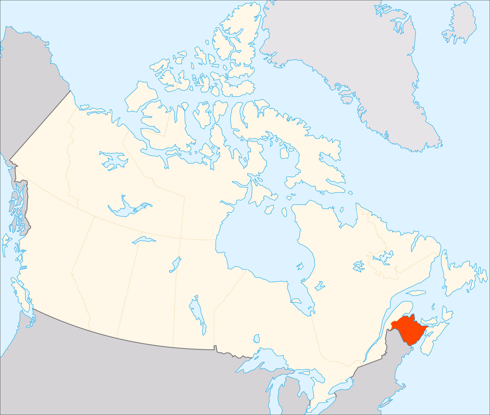
New Brunswick is located on Canada's east coast, bordered by Quebec, Nova Scotia, and the U.S. state of Maine. It also has a long coastline along the Bay of Fundy, which has the highest tides in the world. Students can learn how these dramatic tides shape the shoreline, marine life, and local tourism. The province is also home to the Appalachian Mountains, dense forests, and winding rivers.
Location matters too. New Brunswick's position on the Atlantic coast makes it important for fishing, shipping, and trade. Its border with the United States helps students understand how geography connects countries and affects daily life.
The province is rich in cultural heritage. It is Canada's only officially bilingual province, with both English and French spoken widely. It is also home to Mi'kmaq, Maliseet, and Passamaquoddy Indigenous peoples. Geography lessons naturally lead to discussions about language, identity, and respect for different cultures.
Environmental topics add another layer. Climate change affects the Bay of Fundy's ecosystem, forests, and coastal communities. Students can discuss how rising sea levels and stronger storms impact the region.
Natural resources like forestry, fishing, and mining are important to New Brunswick's economy. Students can explore how these resources create jobs while raising questions about sustainability.
Finally, learning about New Brunswick builds curiosity and global awareness. Many classrooms include students with Canadian heritage, so these lessons can feel personal and meaningful.
In short, New Brunswick is a fantastic teaching tool. Its tides, forests, and cultures bring geography to life. When educators include this province in their lessons, they help students become more informed, caring, and globally aware citizens.
|