Teaching students about Newfoundland and Labrador's geography gives K-12 educators a fascinating way to connect maps, culture, and science. This beautiful Canadian province offers lessons that are both unique and memorable.
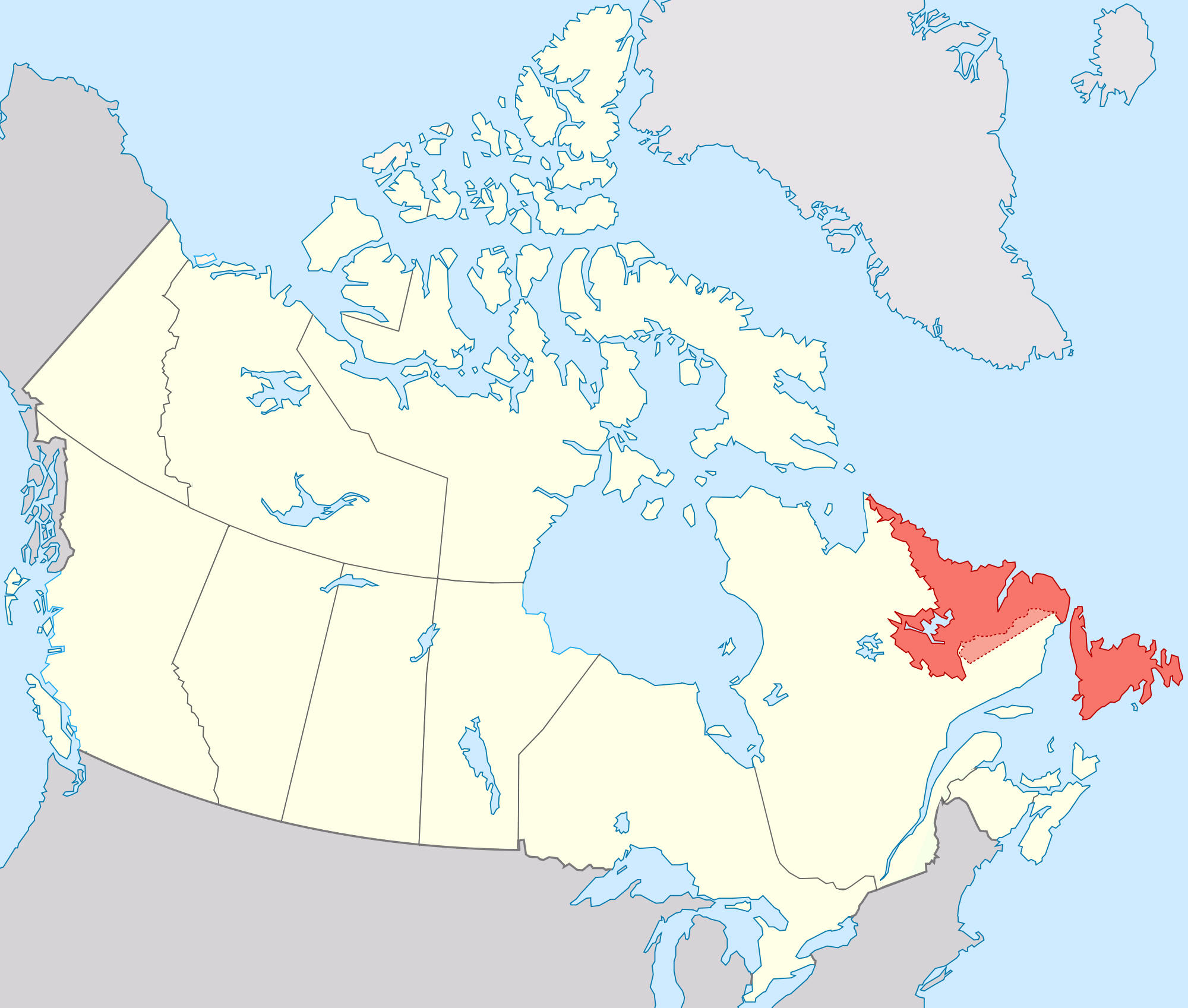
Newfoundland and Labrador is located on Canada's east coast and is made up of two main parts: the island of Newfoundland and the mainland region of Labrador. It borders Quebec and has coastlines on the Atlantic Ocean, Labrador Sea, and Gulf of St. Lawrence. Students can learn how its rugged cliffs, fjords, and rocky shores shape daily life for fishing and coastal communities.
Location matters too. This province is the easternmost part of Canada, making it close to Europe by sea and air. Its position has shaped its history as a crossroads for fishing, trade, and exploration. Students can explore how geography connects this remote place to the wider world.
The province is rich in cultural heritage. It is home to Inuit, Innu, Mi'kmaq, and other Indigenous peoples, along with English, Irish, and French influences. Geography lessons naturally lead to discussions about language, music, food, and respect for different ways of life.
Environmental topics add another layer. Climate change affects sea ice, fish stocks, and coastal communities. Icebergs and harsh winters are part of life here. These lessons connect geography to science and civic responsibility.
Natural resources like fishing, oil, and mining are important to the economy. Students can discuss how these resources are used and protected.
Finally, learning about Newfoundland and Labrador builds curiosity and global awareness. Many classrooms include students with Canadian heritage, so these lessons can feel personal and meaningful.
In short, Newfoundland and Labrador is a fantastic teaching tool. Its cliffs, icebergs, and cultures bring geography to life. When educators include this province in their lessons, they help students become more informed, caring, and globally aware citizens.
|