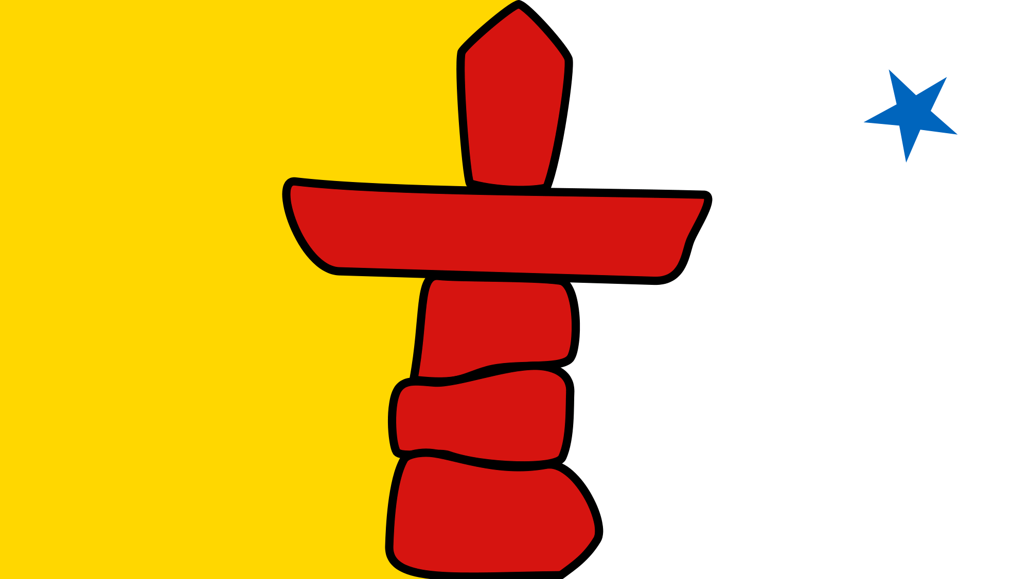
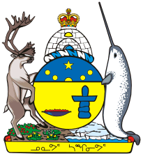
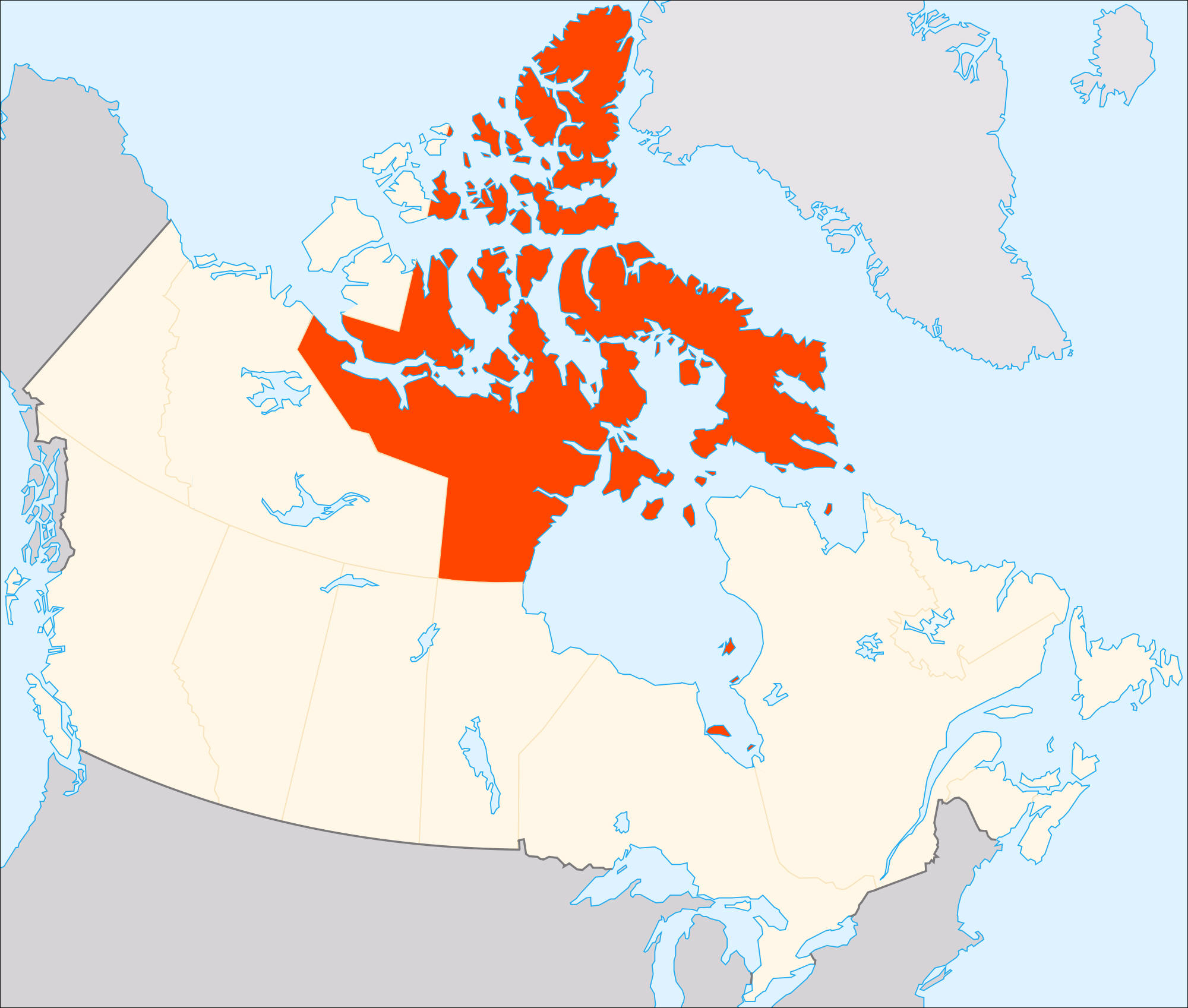
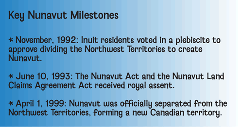
Teaching students about the geography of Nunavut is an incredibly enriching experience for K-12 educators because it introduces them to one of the most fascinating regions of northern Canada. Established in 1999, Nunavut is Canada's largest territory by land area. It includes vast Arctic landscapes, thousands of islands, frozen waterways, and remote communities. Studying this region helps students understand how climate, landforms, wildlife, and human activities influence life in one of the world's coldest environments.
One important benefit of learning about Nunavut is exploring its physical geography. Much of the territory lies within the Arctic, where students can discover tundra landscapes, glaciers, mountains, and large areas of sea ice. Baffin Island, one of the world's largest islands, is located in Nunavut. Students can use maps to locate important geographic features and compare the Arctic environment with forests, grasslands, and warmer regions. These activities strengthen map-reading skills and show how natural processes shape Earth's surface.
 Nunavut also offers exciting opportunities to study climate and wildlife. Winters are long and cold, while summers are short and cool in many areas. Animals such as polar bears, Arctic foxes, seals, and caribou have special adaptations that help them survive. Students can investigate how these animals find food, move across the landscape, and respond to seasonal changes. They can also learn how climate change is affecting sea ice, wildlife habitats, and local communities.
Teaching about Nunavut is especially valuable for understanding Indigenous cultures. Inuit make up the majority of the territory's population, and Inuit knowledge and traditions are closely connected to the land, sea, and seasonal cycles. Educators can help students explore how geography influences travel, food gathering, clothing, housing, and community life. These lessons encourage respect for Indigenous knowledge and different ways of living.
Nunavut's geography also provides important lessons about transportation and settlement. Many communities are far apart and cannot be reached by road from other communities. Air travel and boats are important for connecting people and delivering supplies. Students can examine how distance, weather, and limited infrastructure affect daily life.
Ultimately, teaching the geography of Nunavut helps students develop critical thinking, environmental awareness, and global understanding. It shows them how people adapt to challenging environments while maintaining strong cultural connections to their homeland. By studying Nunavut, students gain a deeper appreciation for Canada's geographic diversity and the importance of protecting Earth's fragile Arctic environments.
|