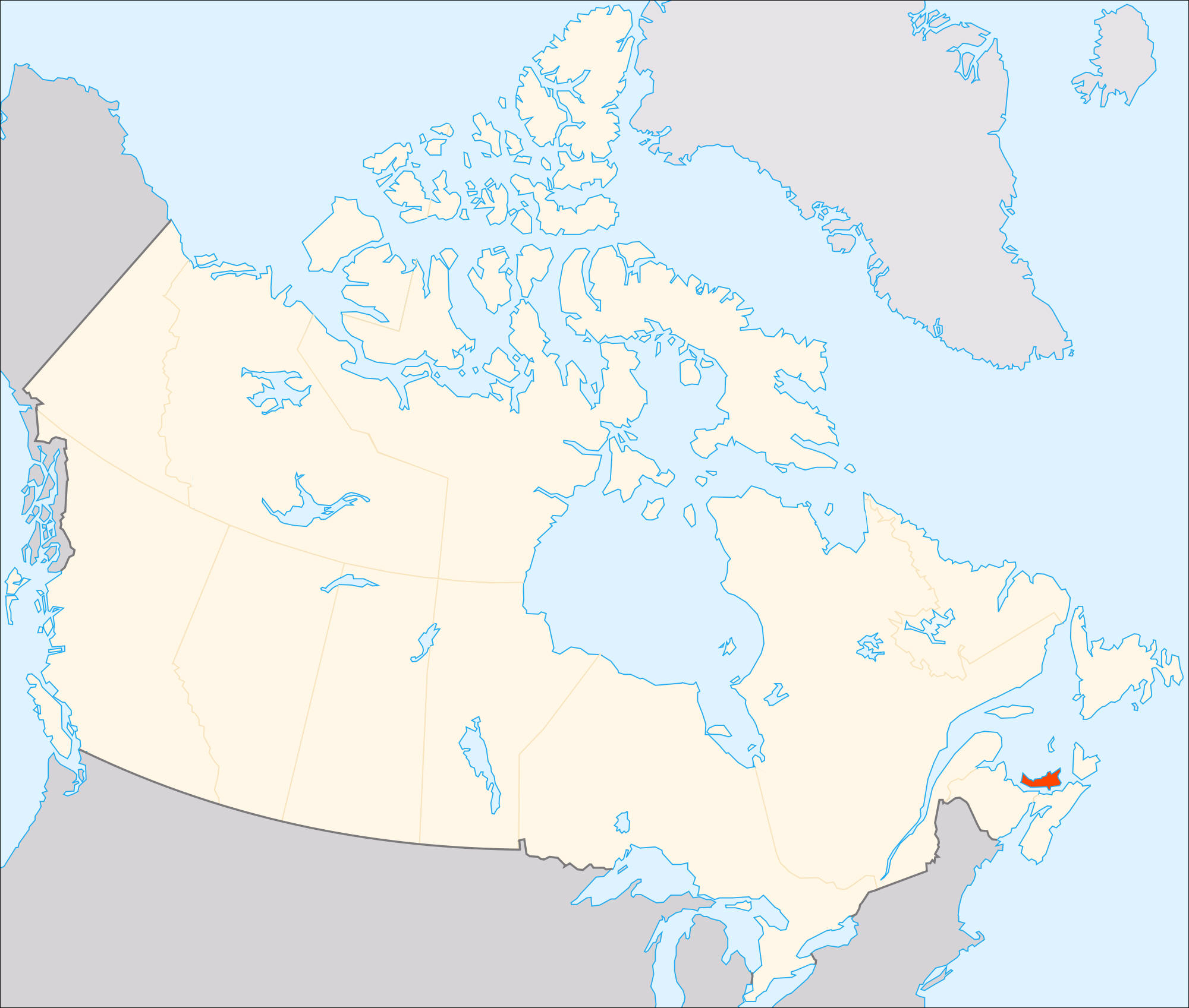
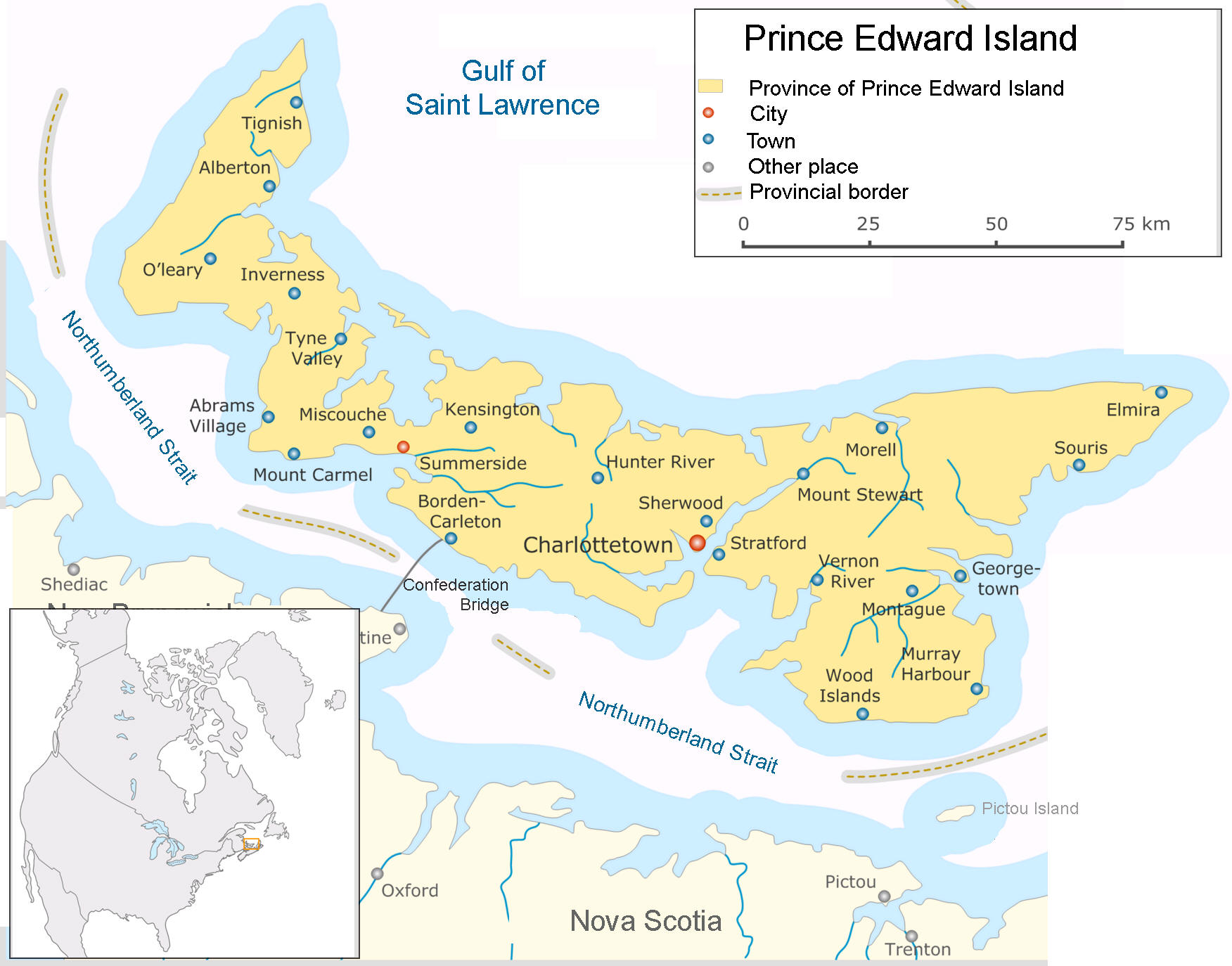
Teaching students about the geography of Prince Edward Island is an incredibly enriching experience for K-12 educators because it introduces them to Canada's smallest province and its distinctive coastal environment. Located in the Gulf of St. Lawrence, Prince Edward Island is known for its red sandy beaches, rolling farmland, fishing communities, and beautiful shorelines. Studying this province helps students understand how geography influences people's lives, jobs, traditions, and relationship with the natural world.
One important benefit of studying Prince Edward Island is exploring its physical features. The province has gently rolling hills, fertile soil, sandy beaches, and red sandstone cliffs. The reddish color of the soil and cliffs comes from iron in the local rock. Students can investigate how geology, weather, and erosion have shaped the island's landscape. They can also use maps to locate bays, rivers, coastal communities, and important natural landmarks. These activities strengthen geographic skills and encourage curiosity about Earth's physical features.
Prince Edward Island's geography also provides valuable lessons about agriculture and fishing. The island is well known for growing potatoes because its soil and climate support farming. Fishing and shellfish harvesting, including the production of mussels and oysters, are also important to local communities. Students can explore how soil, seasonal temperatures, and access to the ocean influence the foods people produce. These lessons connect geography with agriculture, economics, and everyday life.
Studying the province also encourages environmental awareness. Coastal erosion, rising sea levels, and stronger storms can affect beaches, roads, homes, and wildlife habitats. Students can learn how communities protect shorelines, care for marine environments, and respond to changing weather conditions. This helps them understand the importance of conservation and responsible use of natural resources.
Prince Edward Island also offers opportunities to explore cultural geography. The Mi'kmaq people have longstanding connections to the island, which they call Epekwitk. Acadian, Scottish, Irish, and other communities have also influenced its history and traditions. Students can examine how migration, settlement, language, and local resources have shaped the province's identity.
Finally, learning about Prince Edward Island strengthens map-reading skills, critical thinking, and global awareness. Students can compare this small island province with larger Canadian regions and explore how location affects transportation and trade.
Ultimately, teaching Prince Edward Island's geography helps students appreciate Canada's regional diversity. It shows how land, water, climate, culture, and economic activities work together to shape a community and its future.
|