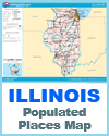
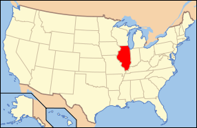
Illinois, located in the Midwestern region of the United States, features a diverse and varied geography that influences its economy, climate, and population distribution. The state stretches from the shores of Lake Michigan in the northeast to the rolling hills and bluffs along the Mississippi River in the west and south. Northern Illinois, especially the area around Chicago, is part of the Great Lakes Plain, characterized by flat terrain, urban development, and access to major waterways. Lake Michigan plays a vital role in trade, transportation, and recreation.
 Central Illinois is mostly flat and dominated by fertile prairies, making it one of the most productive agricultural regions in the country. This area is ideal for growing corn and soybeans due to its rich soil and moderate climate. The landscape here includes gently rolling plains, small rivers, and scattered woodlands.
Southern Illinois has more varied terrain, including low hills, forests, and wetlands. This part of the state is influenced by the Shawnee Hills and the confluence of the Mississippi and Ohio Rivers, creating a more rugged landscape.
The state's network of rivers, including the Illinois, Mississippi, and Ohio, has historically supported transportation, trade, and settlement. Overall, Illinois’s geography supports a blend of urban industry and rural agriculture.
|