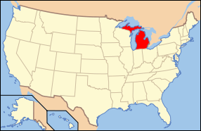
Michigan's geography is unique among U.S. states, as it consists of two large peninsulas--the Upper Peninsula and the Lower Peninsula--surrounded by four of the five Great Lakes: Superior, Michigan, Huron, and Erie. This gives Michigan the longest freshwater coastline of any state and makes water a defining feature of its geography. These vast water resources support shipping, fishing, recreation, and tourism, and have historically influenced the state's development and economy.
The Lower Peninsula, often shaped like a mitten, is characterized by relatively flat to gently rolling terrain, with fertile soil in the southern and central regions that supports agriculture. Crops such as corn, soybeans, cherries, and apples thrive here. The Lower Peninsula is also home to Michigan’s largest cities, including Detroit, Grand Rapids, and Lansing.
The Upper Peninsula is more rugged and heavily forested, with mountainous terrain in the west, including the Porcupine Mountains. It's rich in natural resources like timber, copper, and iron ore, and is known for its natural beauty, including lakes, rivers, and waterfalls.
Michigan's geography also includes more than 11,000 inland lakes and countless rivers, which play a role in both the environment and recreation. The state’s varied terrain and abundant water resources make it a diverse and ecologically rich region.
|


