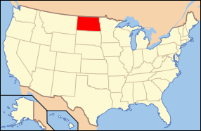
Teaching your K-12 students about the geography of North Dakota is a valuable way for you to connect geography with science, history, economics, and environmental studies. Located in the northern Great Plains, North Dakota features wide-open prairies, fertile farmland, rolling hills, and river valleys. Studying these landscapes helps your students understand how the natural environment influences communities, industries, and everyday life.
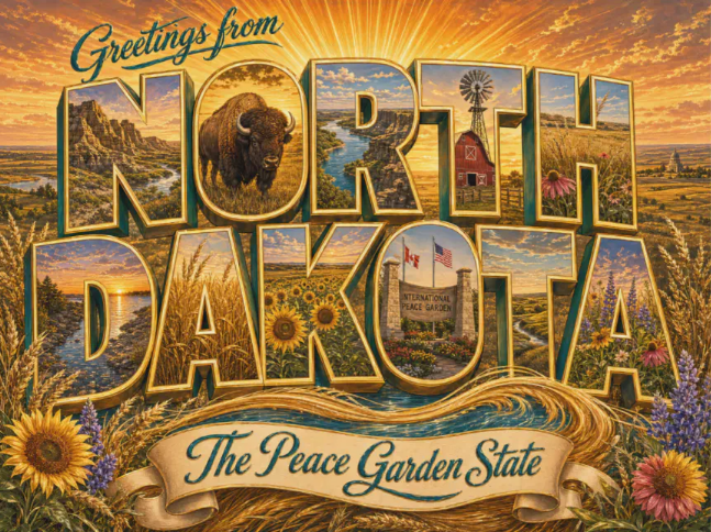
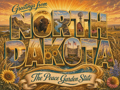 North Dakota's landforms provide many opportunities for classroom learning. Much of the state consists of flat or gently rolling plains that support farming and ranching. The Badlands in the western part of the state feature colorful rock formations, steep slopes, and unusual landscapes shaped by erosion. Theodore Roosevelt National Park protects part of this region and provides opportunities to study geology, wildlife, and conservation. The Missouri River crosses the state and supplies water for communities, agriculture, and recreation.
The state's climate offers additional lessons. North Dakota experiences cold, snowy winters and warm summers, with changing temperatures throughout the year. Your curious students can investigate how these conditions affect farming, transportation, wildlife, and daily routines. They can also learn about blizzards, flooding, droughts, and severe storms, exploring how communities prepare for natural hazards.
North Dakota's geography plays an important role in its economy. Farmers grow wheat, corn, soybeans, and other crops, while cattle ranching supports rural communities. The state also produces oil, especially in the Bakken region, and has growing wind energy resources. Students can discuss how natural resources create jobs while also raising questions about conservation and responsible land use.
Geography lessons can help your K-12 students understand North Dakota's history and cultural heritage. Indigenous nations, including the Mandan, Hidatsa, and Arikara, have deep connections to the region. European settlement and railroad development later changed patterns of transportation, farming, and population. North Dakota became a state in 1889.
By studying North Dakota, your students strengthen map-reading skills, build environmental awareness, and learn how geography shapes culture, history, and economic activity. These lessons encourage curiosity and help young people appreciate the connections between people and their environment.
|



 North Dakota's landforms provide many opportunities for classroom learning. Much of the state consists of flat or gently rolling plains that support farming and ranching. The Badlands in the western part of the state feature colorful rock formations, steep slopes, and unusual landscapes shaped by erosion. Theodore Roosevelt National Park protects part of this region and provides opportunities to study geology, wildlife, and conservation. The Missouri River crosses the state and supplies water for communities, agriculture, and recreation.