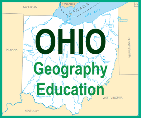
 Ohio is located in the northeastern part of the Midwest and features a diverse and varied geography. Bordered by Lake Erie to the north and the Ohio River to the south, the state includes rolling plains, fertile valleys, and gently sloping hills. The northern part of the state lies within the Great Lakes Plains, where the land is relatively flat and well-suited for agriculture and urban development. Lake Erie not only moderates the climate in the region but also supports trade, recreation, and tourism.
Central Ohio transitions into gently rolling hills and open farmland, forming part of the Till Plains. These plains, created by glacial activity, have left behind nutrient-rich soils that support the state's strong agricultural economy. Further south and east, the terrain becomes hillier and more rugged as it enters the Appalachian Plateau, particularly in southeastern Ohio. This region features steep valleys, wooded areas, and coal-rich lands.
Several major rivers, including the Scioto, Miami, and Muskingum, cross the state and contribute to its agricultural productivity and historical settlement patterns. Ohio’s geography, with its mix of waterways, fertile plains, and natural resources, has played a vital role in its economic development, making it a key transportation, agricultural, and industrial hub in the United States.
|


