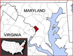
Washington, D.C., sits in a kind of "bowl." The flat bottom of the bowl is where the White House and Capitol stand, near the Potomac and Anacostia Rivers. Around the city, the land rises into hills and ridges. The highest natural point is Fort Reno, about 420 feet above sea level. The city lies right on the "fall line," where hard rock from the north meets softer sandy soil from the coast. This mix of land shapes how the city grew.
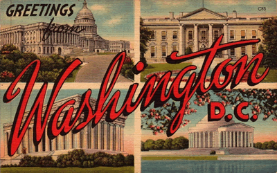 The biggest industry in D.C. is the federal government. It employs about one in every four workers in the city. Because of this, many private companies also work with the government, like law firms, consulting groups, and technology companies. Tourism is another major industry. Millions of people visit each year to see museums, monuments, and the Capitol. Hotels and restaurants depend on these visitors. Health care and education are important too, with big hospitals and universities providing many jobs.
D.C.'s history starts with a choice. In 1790, leaders picked this spot on the Potomac River to be the permanent home of the U.S. government. A French planner named Pierre L'Enfant designed the city with wide avenues and grand circles. During the War of 1812, British soldiers burned the White House and the Capitol, but the city rebuilt. During the Civil War, D.C. was right on the edge of danger, so soldiers built a ring of forts around the city for protection. Over time, D.C. grew into a busy, international city, though it still does not have voting representation in Congress like a state does.
From its river valleys to its government offices, Washington, D.C., is a city shaped by its land and its special role in the nation.
|



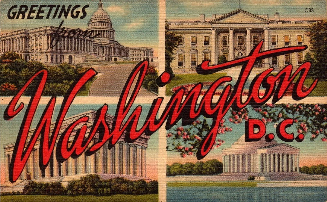 The biggest industry in D.C. is the federal government. It employs about one in every four workers in the city. Because of this, many private companies also work with the government, like law firms, consulting groups, and technology companies. Tourism is another major industry. Millions of people visit each year to see museums, monuments, and the Capitol. Hotels and restaurants depend on these visitors. Health care and education are important too, with big hospitals and universities providing many jobs.