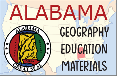
Alabama, located in the southeastern United States, features a diverse geography that ranges from mountainous terrain in the north to coastal plains in the south. The northern part of the state is dominated by the Appalachian Mountains, particularly the Cumberland Plateau and the foothills of the Appalachian Ridge and Valley region. This area is known for its rugged landscape, forests, and rich mineral resources, especially around Birmingham.
 Moving southward, the land transitions into the Piedmont region, characterized by rolling hills and fertile soil. Central Alabama is home to the Black Belt, a region named for its dark, nutrient-rich soil, which historically supported a strong agricultural economy, especially cotton farming. Moving southward, the land transitions into the Piedmont region, characterized by rolling hills and fertile soil. Central Alabama is home to the Black Belt, a region named for its dark, nutrient-rich soil, which historically supported a strong agricultural economy, especially cotton farming.
The southern part of the state is made up of the Gulf Coastal Plain, a flat and gently sloping area that leads to the Gulf of Mexico (officialy called the Gulf of America in the U.S. since January of 2025). This region includes swamps, wetlands, and sandy beaches, particularly around Mobile Bay, which serves as a key port and access point to the Gulf.
Major rivers such as the Alabama, Tennessee, and Tombigbee flow through the state, supporting transportation, agriculture, and industry. Overall, Alabama's varied landscape has shaped its economy and culture, offering everything from mountain trails and fertile farmland to a strategic coastal location.
|



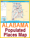
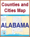

 Moving southward, the land transitions into the Piedmont region, characterized by rolling hills and fertile soil. Central Alabama is home to the Black Belt, a region named for its dark, nutrient-rich soil, which historically supported a strong agricultural economy, especially cotton farming.


