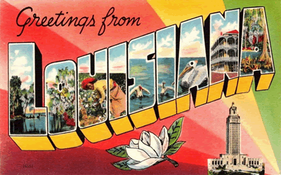
Teaching the geography of Louisiana helps K-12 students understand how land, water, climate, and natural resources shape people's lives. Located along the Gulf of Mexico in the southern United States, Louisiana has a unique landscape and a rich cultural history. Studying its geography helps students learn why communities developed where they did and how the environment affects jobs, transportation, and daily activities.
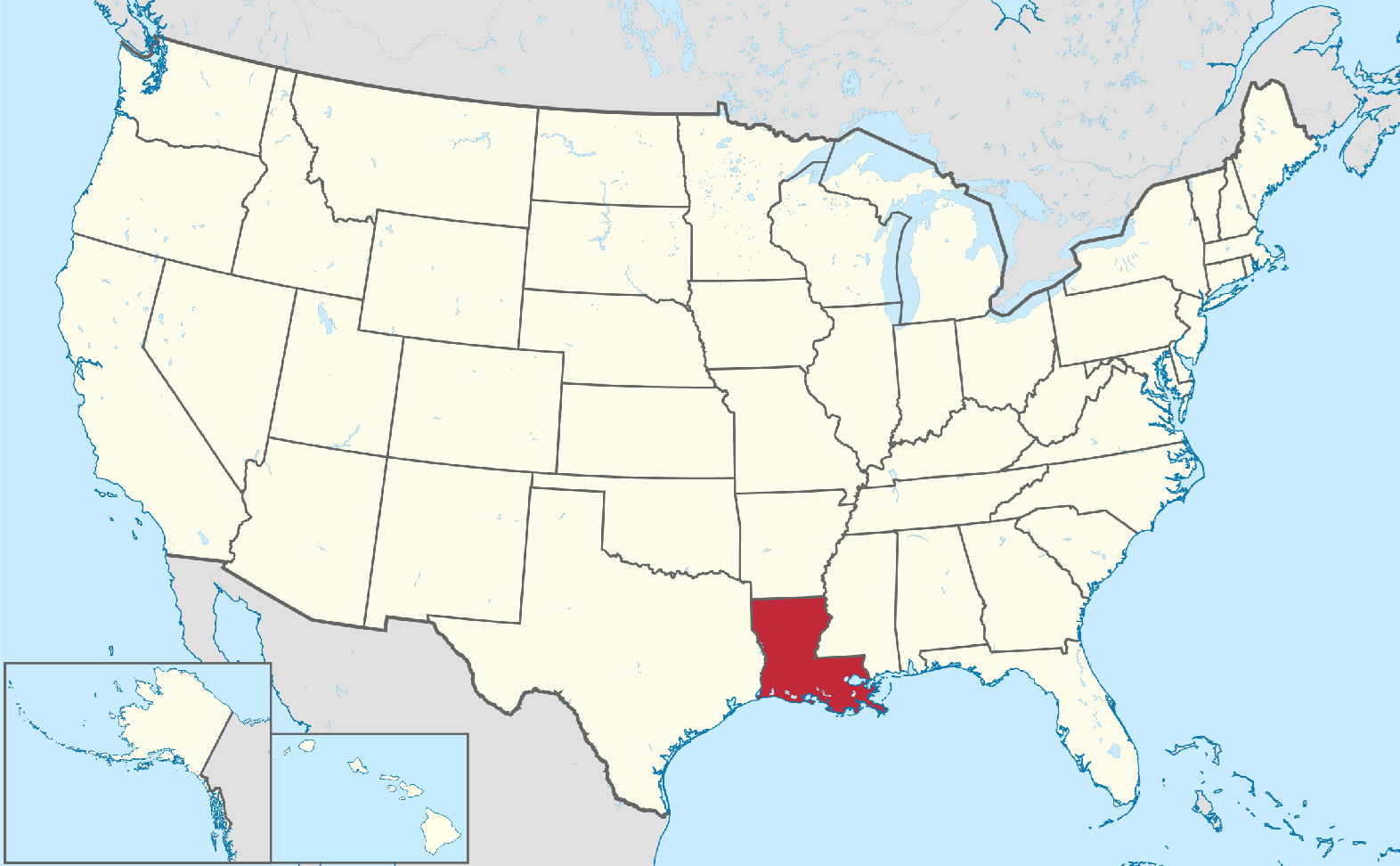
 Students can begin by locating Louisiana on a map and identifying its neighboring states: Texas, Arkansas, and Mississippi. They can also locate the Gulf of Mexico and important waterways, including the Mississippi River and the Red River. These activities help students practice map-reading skills, understand directions, and recognize how rivers connect communities and support trade.
Louisiana's physical geography offers many opportunities for classroom learning. Much of the state consists of low, flat land, including coastal plains, wetlands, marshes, and river deltas. Northern Louisiana has more hills than the southern part of the state. Students can explore how rivers carry soil and create fertile land. They can also learn why wetlands provide homes for wildlife, help reduce flooding, and protect parts of the coast. Lessons about hurricanes, coastal erosion, and flooding can show students how natural events affect communities and why protecting the environment matters.
Human geography is equally important. Louisiana includes large cities such as New Orleans, Baton Rouge, and Shreveport, along with small towns and rural communities. Students can investigate how waterways, roads, and ports influence transportation and economic growth. They can also study major industries, including oil and gas production, shipping, fishing, agriculture, and tourism. These topics help students understand how Louisiana's location supports jobs and trade.
Geography lessons can connect social studies with science, mathematics, and language arts. Students might create maps, compare rainfall data, study river systems, or write reports about Louisiana's regions. These activities strengthen research, problem-solving, and critical-thinking skills.
By teaching Louisiana's geography, K-12 teachers help students understand their state and its place in the nation. Students gain a greater appreciation for its landscapes, cultural communities, and natural resources while learning to make informed decisions about environmental challenges and the future of their communities.
|



 Students can begin by locating Louisiana on a map and identifying its neighboring states: Texas, Arkansas, and Mississippi. They can also locate the Gulf of Mexico and important waterways, including the Mississippi River and the Red River. These activities help students practice map-reading skills, understand directions, and recognize how rivers connect communities and support trade.