

| Louisiana Facts Research Worksheet |
|---|
| www.studenthandouts.com ↣ Geography ↣ North America ↣ U.S.A. ↣ U.S. South ↣ Louisiana Geography Education |
 |
    |
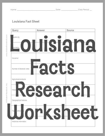
 Click here to print. Students' answers will vary. This worksheet is designed for students in grades five and up who are learning about citations. Pupils are tasked with researching the state and citing their sources. Great skills for upper elementary pupils! Louisiana's topography is shaped by the Mississippi River, which built much of the state's land over thousands of years. The state has low, flat areas called alluvial plains, coastal marshes, and some pine hills in the north. The Mississippi River Delta stretches toward the Gulf of Mexico, creating wetlands and swamps rich with wildlife. Louisiana's industries connect closely to its geography. Energy is a major part of the economy, and the state ranks second in the nation for crude oil production and third for natural gas. Forestry is the top agricultural industry, and Louisiana is also a leading producer of seafood, including crawfish. Tourism brings in billions of dollars each year. Historically, Louisiana's location made it important for trade and transportation. The port of New Orleans became a key gateway for goods moving along the Mississippi River. The state's mix of French, Spanish, and other cultures also shaped its unique traditions, music, and food. |
| www.studenthandouts.com ↣ Geography ↣ North America ↣ U.S.A. ↣ U.S. South ↣ Louisiana Geography Education |