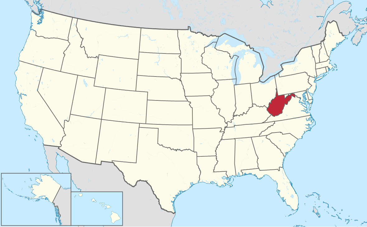
Teaching students about the geography of West Virginia helps them understand how land, water, climate, and natural resources shape a state. Located in the Appalachian region of the eastern United States, West Virginia is known for its mountains, forests, rivers, and valleys. Studying these features helps students learn how geography affects where people live, work, and travel.
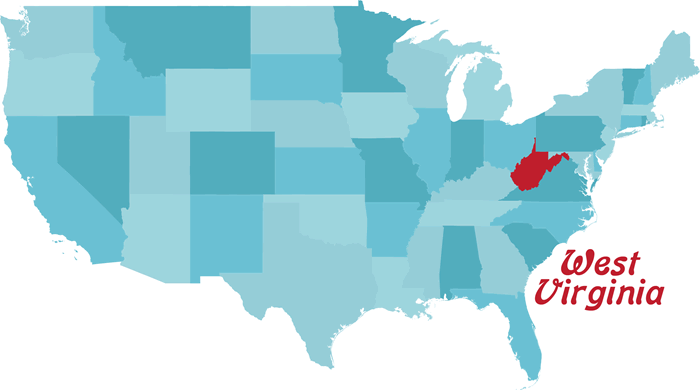 One important part of West Virginia's geography is its mountain landscape. Much of the state lies within the Appalachian Mountains. The Allegheny Mountains and other highlands create steep slopes, narrow valleys, and winding roads. Teachers can use maps and pictures to help students identify these landforms. Students can also compare West Virginia's rugged terrain with flatter areas of the United States.
Rivers are another important topic. The Ohio River forms much of the state's western border, while the Kanawha, Monongahela, and New rivers are important parts of its waterways. These rivers have supported travel, trade, farming, and industry. They also provide places for fishing, boating, and other outdoor activities. Learning about rivers can help students understand why protecting clean water is important.
West Virginia's natural resources have shaped its economy and history. Coal mining has played a major role in the state's development. Today, other activities include manufacturing, farming, tourism, and outdoor recreation. Teachers can discuss how natural resources create jobs while also raising questions about pollution, land use, and conservation.
Geography lessons can also help students study the state's cities and communities. Charleston, the state capital, and other towns developed in places that supported travel, trade, or industry. Students can use maps to locate these communities and examine how roads, rivers, and mountains connect them.
Teaching West Virginia's geography supports skills in map reading, research, science, and history. Students can study weather, compare landforms, or explore how people use natural resources. These lessons help students understand their surroundings, respect the environment, and make informed choices about the future of their state.
|