Utilizing maps and pictures is a powerful way to help high school World History students better understand the events and impact of the Protestant Reformation. Maps allow students to visualize the geographic spread of Reformation ideas across Europe, from Martin Luther's actions in Germany to the rise of Calvinism in Switzerland and the establishment of Anglicanism in England. By studying political and religious maps, students can trace how different regions responded to religious reform, how political boundaries shifted, and how the Reformation contributed to long-term religious and political fragmentation in Europe.
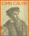
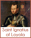
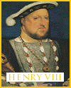
Pictures—including paintings, woodcuts, church art, and political cartoons—offer visual insight into the period's tensions and transformations. They help students examine how reformers portrayed the Church, how propaganda was used to influence public opinion, and how religious leaders presented their messages. Visuals also provide context for key events such as the Diet of Worms, the Peasants' War, and the Catholic Church's response through the Council of Trent.
Together, maps and pictures support visual learning and promote historical interpretation. They help students engage with abstract concepts like religious authority, reform, and dissent in concrete, relatable ways. Analyzing these materials fosters critical thinking, encourages class discussion, and deepens students' understanding of the Reformation's lasting global impact.
|

