


| Hanseatic League Map, 1360 |
|---|
| www.studenthandouts.com ↣ World History ↣ Renaissance ↣ Renaissance Maps & Pictures |
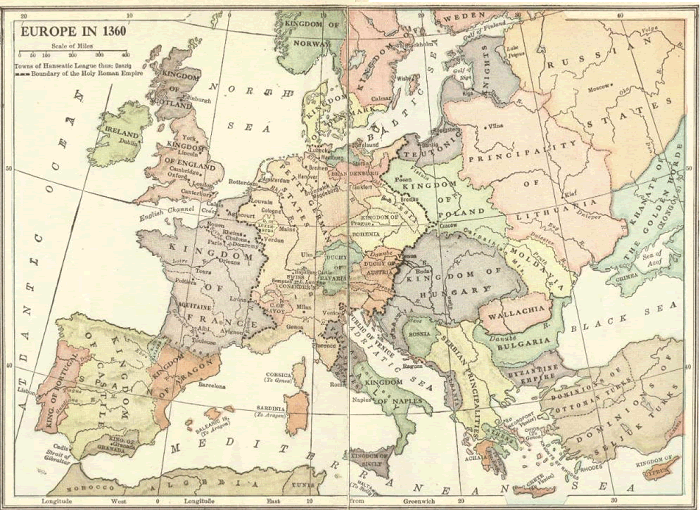 |
| Map of Europe in 1360. Towns of the Hanseatic League, Danzig. Boundary of the Holy Roman Empire. This commercial and defensive league of northwestern and central European market towns and merchant guilds was officially established in 1358, though its origins went back over two hundred years. Click here to enlarge. |
 |  |  | ") |  | ") |
| Renaissance Books and Films | Renaissance Outlines and PowerPoints |
| Renaissance Maps and Pictures | Renaissance Worksheets |
| Renaissance Miscellany | Renaissance Study Games |
| www.studenthandouts.com ↣ World History ↣ Renaissance ↣ Renaissance Maps & Pictures |


