![]() |
European Renaissance Maps and Pictures |
---|
www.studenthandouts.com > World History > Renaissance > Renaissance Maps and Pictures |
![]() |
![]() |
![]() |
![]() |
![]() |
||||||
Portion of Old Paris - Map | Map of Europe ca. 1560 | Renaissance Banquet | England's Elizabeth I | 16th-Century Artists |
![]() |
![]() |
![]() |
![]() |
![]() |
||||||
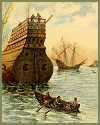
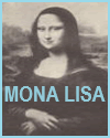
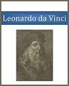
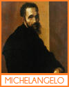
Renaissance Ships | Conrad Gessner Woodcut with Classical Theme, 1560 | Mona Lisa by Leonardo da Vinci | Leonardo da Vinci (1452-1519) | Michelangelo (1475-1564) |
![]() |
![]() |
![]() |
![]() |
![]() |
||||||
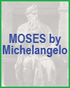
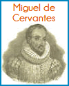
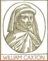
Moses by Michelangelo | Elizabethan Theatre, London, England | Miguel de Cervantes (1547-1616) | William Caxton (1412-1491) | Hanseatic League Map, 1360 |
Our maps and pictures are valuable tools for helping high school World History students better understand the European Renaissance. Maps can show the spread of Renaissance ideas from Italy to the rest of Europe, highlighting important trade routes, cultural centers, and political boundaries. They help students visualize how geography influenced the movement of people, goods, and knowledge. Pictures, including Renaissance paintings, sculptures, and architectural works, provide insight into the values of the time—such as humanism, realism, and classical inspiration. Analyzing visual art helps students explore themes like individualism, scientific observation, and secularism. Together, maps and images make abstract ideas more concrete and foster deeper engagement with the period's cultural and intellectual achievements. |
Renaissance Books and Films | Renaissance Outlines and PowerPoints |
Renaissance Maps and Pictures | Renaissance Worksheets |
Renaissance Miscellany | Renaissance Study Games |
www.studenthandouts.com > World History > Renaissance > Renaissance Maps and Pictures |