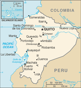
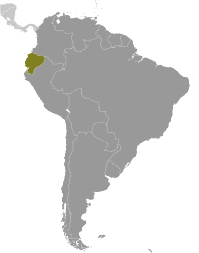
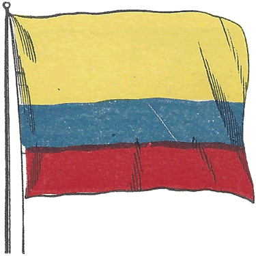
 Learning about Ecuador's geography is important because it packs remarkable diversity into a small area, offering students a compact but powerful lesson in how environment shapes life. Despite being roughly the size of Colorado, Ecuador contains four distinct regions: the Pacific coast, the Andean highlands, the Amazon rainforest, and the Galápagos Islands. The Andes run through the center, crowned by Chimborazo, whose peak is the farthest point from Earth's center due to the planet's equatorial bulge.
This variety makes Ecuador an ideal case study for geographic concepts. Your students can explore how latitude and elevation create climates ranging from tropical beaches to snow-capped volcanoes, and how the Galápagos Islands inspired Charles Darwin's theory of evolution. Ecuador also offers lessons in agriculture and economics, as a leading exporter of bananas, cacao, and roses.
Ecuador's cultural geography is equally rich, with Quechua-speaking Indigenous communities, Afro-Ecuadorian traditions, and Spanish colonial heritage woven across its regions. The country’s name itself—derived from the equator—invites students to think about global positioning and Earth's geometry.
For your young learners, Ecuador is engaging because of its contrasts: volcanoes and rainforests, islands and highlands, all within one small nation. Studying Ecuador builds map skills, environmental awareness, and appreciation for how geography influences biodiversity, culture, and history.
|



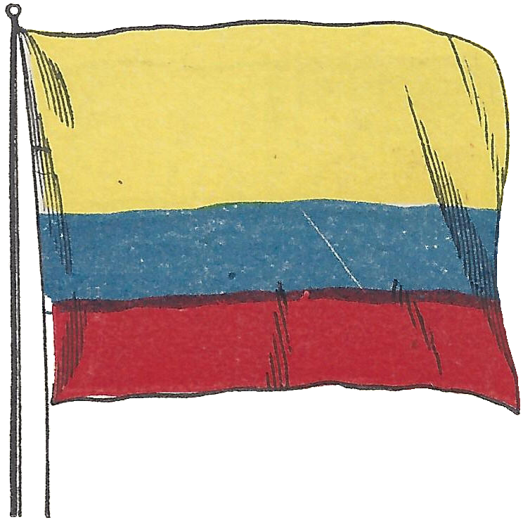 Learning about Ecuador's geography is important because it packs remarkable diversity into a small area, offering students a compact but powerful lesson in how environment shapes life. Despite being roughly the size of Colorado, Ecuador contains four distinct regions: the Pacific coast, the Andean highlands, the Amazon rainforest, and the Galápagos Islands. The Andes run through the center, crowned by Chimborazo, whose peak is the farthest point from Earth's center due to the planet's equatorial bulge.