Our free maps and pictures are powerful tools that can significantly enhance the comprehension of high school World History students learning about the Barbarian migrations in Europe. These visual aids provide context, clarity, and a more engaging learning experience, helping students grasp the complexity and impact of these migrations.
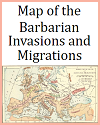
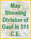
Maps are particularly useful in illustrating the routes taken by various barbarian tribes, such as the Visigoths, Ostrogoths, Vandals, Huns, and Franks, as they moved across Europe. By visualizing these movements, students can better understand the geographical scope and scale of the migrations. Maps can show how these tribes entered and settled in different parts of the Roman Empire, highlighting key events like the sack of Rome by the Visigoths in A.D. 410 and the Vandal conquest of North Africa. Seeing these movements on a map helps students make connections between the migrations and the political, social, and economic changes they triggered.
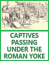
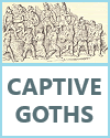
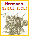
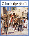
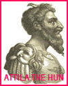
Pictures and illustrations add another layer of understanding by bringing to life the people, cultures, and events associated with the Barbarian migrations. Images of artifacts, such as weapons, jewelry, and everyday items, can provide insights into the material culture of these tribes. Artistic representations of significant events, battles, and key figures like Attila the Hun and Alaric I help students visualize historical narratives, making them more memorable and relatable.
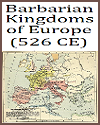
Moreover, visual aids can depict the interaction between the migrating tribes and the Roman population, showcasing the blending of cultures and the resulting societal transformations. For instance, illustrations of the fall of Roman cities, the establishment of barbarian kingdoms, and the eventual fusion of Roman and Germanic traditions help students understand the long-term effects of these migrations on European history.
By integrating maps and pictures into lessons on the Barbarian migrations, teachers can create a more dynamic and interactive learning environment. These visual tools not only aid in the retention of information but also foster critical thinking and a deeper appreciation for the complexities of historical events. This approach helps students build a comprehensive understanding of how the Barbarian migrations shaped the course of European history.
|


