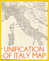
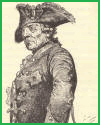
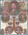
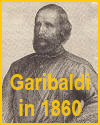
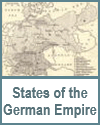
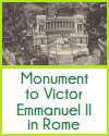
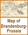
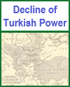
| Our maps and pictures can greatly enhance a high school World History student's understanding of the rise of global nationalism in the nineteenth century by making abstract concepts more concrete and visually engaging. Our maps show how national borders changed due to unification movements and independence struggles, helping students grasp the geographic impact of nationalism in regions like Germany, Italy, and Latin America. Our pictures—such as portraits of key leaders, flags, political cartoons, and scenes of revolutionary events—bring historical moments to life. These visuals help students connect emotionally with the content and better understand the symbols, ideas, and motivations behind nationalist movements. |