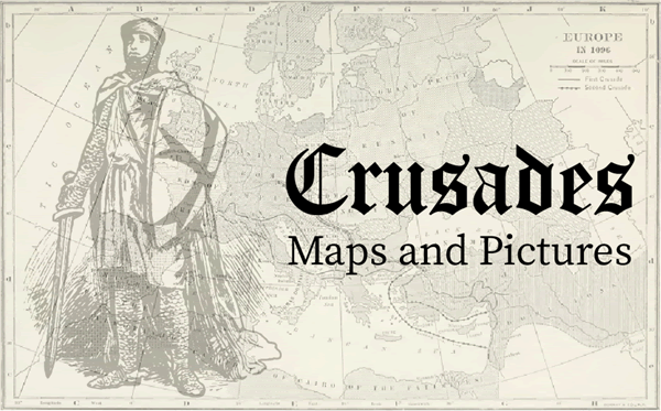
 Maps and pictures are invaluable tools for enhancing the understanding of high school World History students learning about the Crusades. Maps provide a visual representation of the geographical context, illustrating the vast distances crusaders traveled from Europe to the Holy Land. They help students grasp the strategic locations of key cities, routes taken, and the territorial changes over time. By seeing these maps, students can better understand the logistical challenges and the broader geopolitical landscape of the era. Maps and pictures are invaluable tools for enhancing the understanding of high school World History students learning about the Crusades. Maps provide a visual representation of the geographical context, illustrating the vast distances crusaders traveled from Europe to the Holy Land. They help students grasp the strategic locations of key cities, routes taken, and the territorial changes over time. By seeing these maps, students can better understand the logistical challenges and the broader geopolitical landscape of the era.
Pictures, including illustrations, paintings, and photographs of artifacts, bring the period to life. Kids can feel like they were there! Visual depictions of battles, significant figures, and medieval life help students connect emotionally and intellectually with the material. Images of castles, weapons, and religious artifacts provide tangible links to the past, making abstract concepts more concrete.
Together, maps and pictures enrich the narrative of the Crusades, making it more engaging and accessible. They help students visualize the historical events, understand the cultural and religious motivations, and appreciate the complexities of medieval Christendom. These visual aids support diverse learning styles, aiding retention and comprehension, and fostering a deeper appreciation of history.
|


")
")
")


