Maps and images are valuable educational tools for teaching World History students about ancient Rome in several ways.
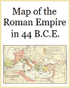
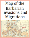
Geographic Context: Maps provide students with a visual representation of the Roman Empire's vast territory, helping them understand its geographical extent, boundaries, and key regions. This context is crucial for comprehending the empire's expansion and its impact on different areas.
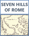
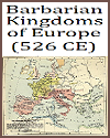
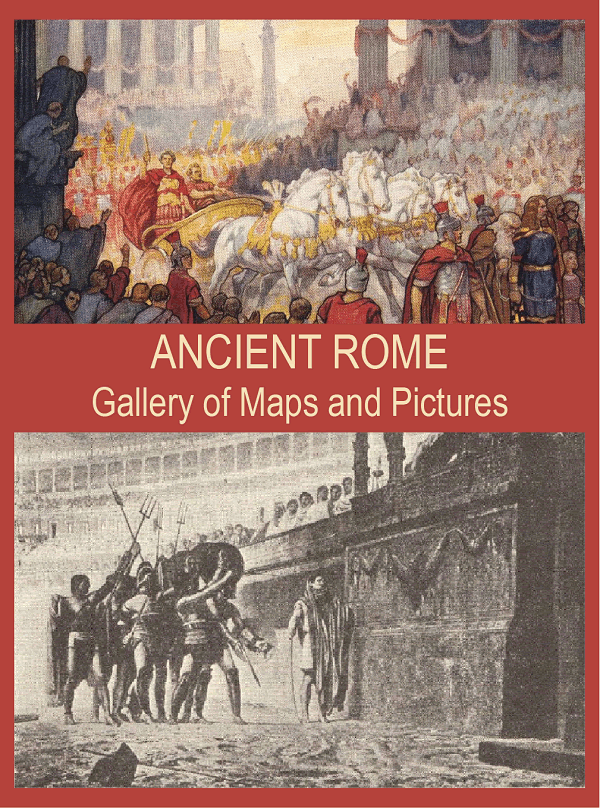 Political and Administrative Divisions: Maps can illustrate the political and administrative divisions of ancient Rome, including provinces, cities, and important landmarks. This aids in understanding the empire's governance structure.
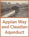
Trade and Transportation: Maps help students grasp the significance of Rome's strategic location and its extensive road network, such as the Roman roads and aqueducts. They can visualize how these elements facilitated trade, communication, and the movement of armies.
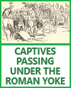
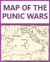
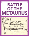
Battle Campaigns and Conquests: Maps are essential for teaching about major battles, military campaigns, and conquests of the Roman Empire. Students can trace the paths of famous battles, such as the Punic Wars or the Roman conquest of Gaul, to gain insights into military strategies and outcomes.
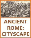
Urban Planning and Architecture: Images and diagrams of ancient Roman cities, including layouts, structures, and architectural innovations like the Colosseum and aqueducts, provide visual context for understanding urban planning and construction techniques.
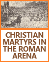
Daily Life and Culture: Visual representations, such as frescoes, mosaics, and sculptures, offer glimpses into the daily life, customs, and art of the ancient Romans. They help students connect with the culture and aesthetics of the time.
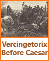
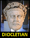
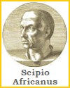
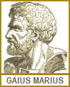
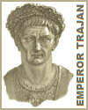
Historical Figures and Events: Images of prominent figures like Julius Caesar, Augustus, or Cleopatra, as well as depictions of important events, like the assassination of Julius Caesar or the eruption of Mount Vesuvius, make history more engaging and memorable.
Archaeological Sites: Maps and images of archaeological sites, such as Pompeii or the Roman Forum, enable students to explore the physical remnants of ancient Rome and appreciate the preservation of its history.
Comparative Analysis: Maps and images can be used for comparative analysis, allowing students to compare Roman architecture, art, or engineering with other ancient civilizations, fostering a deeper understanding of cultural exchanges.
Critical Thinking and Inference: Analyzing historical maps and images encourages students to think critically, make inferences, and draw conclusions about ancient Rome's society, economy, politics, and technology.
Multimodal Learning: Incorporating visual elements into the curriculum appeals to different learning styles, benefiting visual and kinesthetic learners who may find it easier to grasp concepts through images and maps.
Digital Resources: In the digital age, interactive maps and digital reconstructions of ancient Rome provide dynamic learning experiences, allowing students to explore historical landscapes virtually.
Incorporating maps and images into lessons about ancient Rome enhances World History students' engagement, comprehension, and retention of historical knowledge. These visual aids help bring history to life, making it more accessible and relatable.
|




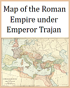



 Political and Administrative Divisions: Maps can illustrate the political and administrative divisions of ancient Rome, including provinces, cities, and important landmarks. This aids in understanding the empire's governance structure.


